
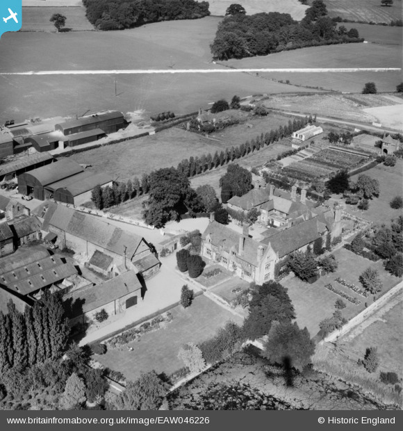
EAW046226 ENGLAND (1952). Harnage Grange House and Farm, Harnage Grange, 1952. This image was marked by Aerofilms Ltd for photo editing.
© Copyright OpenStreetMap contributors and licensed by the OpenStreetMap Foundation. 2025. Cartography is licensed as CC BY-SA.
Nearby Images (7)
EAW046226

EAW046228

EAW046229

EAW046227

EAW046230

EAW046231

EAW046106

Details
| Title | [EAW046226] Harnage Grange House and Farm, Harnage Grange, 1952. This image was marked by Aerofilms Ltd for photo editing. |
| Reference | EAW046226 |
| Date | 25-August-1952 |
| Link | |
| Place name | HARNAGE GRANGE |
| Parish | COUND |
| District | |
| Country | ENGLAND |
| Easting / Northing | 356927, 302219 |
| Longitude / Latitude | -2.6362532830184, 52.615679356747 |
| National Grid Reference | SJ569022 |
Pins
Be the first to add a comment to this image!