
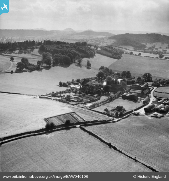
EAW046106 ENGLAND (1952). Harnage Grange and Grange Hill, Harnage Grange, from the north-east, 1952
© Copyright OpenStreetMap contributors and licensed by the OpenStreetMap Foundation. 2025. Cartography is licensed as CC BY-SA.
Nearby Images (7)
EAW046106

EAW046230

EAW046226

EAW046227

EAW046231

EAW046228

EAW046229

Details
| Title | [EAW046106] Harnage Grange and Grange Hill, Harnage Grange, from the north-east, 1952 |
| Reference | EAW046106 |
| Date | 25-August-1952 |
| Link | |
| Place name | HARNAGE GRANGE |
| Parish | COUND |
| District | |
| Country | ENGLAND |
| Easting / Northing | 357135, 302318 |
| Longitude / Latitude | -2.6331938545833, 52.616585852294 |
| National Grid Reference | SJ571023 |
Pins
Be the first to add a comment to this image!