
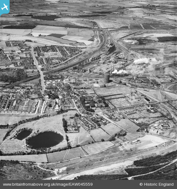
EAW045559 ENGLAND (1952). Corby Steelworks and the town, Corby, 1952
© Copyright OpenStreetMap contributors and licensed by the OpenStreetMap Foundation. 2026. Cartography is licensed as CC BY-SA.
Nearby Images (2)
EAW045559

EAW045576

Details
| Title | [EAW045559] Corby Steelworks and the town, Corby, 1952 |
| Reference | EAW045559 |
| Date | 19-July-1952 |
| Link | |
| Place name | CORBY |
| Parish | |
| District | |
| Country | ENGLAND |
| Easting / Northing | 489759, 289068 |
| Longitude / Latitude | -0.67783066586708, 52.491761660452 |
| National Grid Reference | SP898891 |
Pins
Be the first to add a comment to this image!
User Comment Contributions
Corby old village before they knocked down the houses |

Michael Mahon |
Saturday 10th of October 2015 08:21:16 PM |