
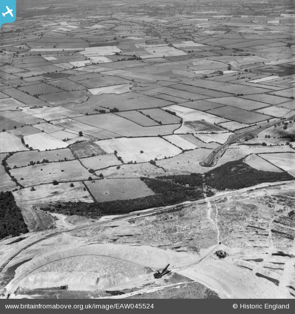
EAW045524 ENGLAND (1952). Quarrying alongside Gretton West Plantation and the surrounding countryside, Gretton, 1952
© Copyright OpenStreetMap contributors and licensed by the OpenStreetMap Foundation. 2025. Cartography is licensed as CC BY-SA.
Nearby Images (3)
EAW045524

EAW045506
 and the surrounding countryside, Gretton, 1952")
EAW045525

Details
| Title | [EAW045524] Quarrying alongside Gretton West Plantation and the surrounding countryside, Gretton, 1952 |
| Reference | EAW045524 |
| Date | 6-August-1952 |
| Link | |
| Place name | GRETTON |
| Parish | GRETTON |
| District | |
| Country | ENGLAND |
| Easting / Northing | 488790, 292635 |
| Longitude / Latitude | -0.69114793912673, 52.523982672425 |
| National Grid Reference | SP888926 |
Pins
Be the first to add a comment to this image!