
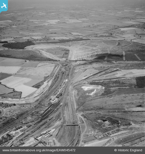
EAW045472 ENGLAND (1952). Gretton Plain (Brookfield Plantation) and the surrounding area, Corby, from the south-east, 1952
© Copyright OpenStreetMap contributors and licensed by the OpenStreetMap Foundation. 2025. Cartography is licensed as CC BY-SA.
Nearby Images (2)
EAW045472
 and the surrounding area, Corby, from the south-east, 1952")
EAW044697

Details
| Title | [EAW045472] Gretton Plain (Brookfield Plantation) and the surrounding area, Corby, from the south-east, 1952 |
| Reference | EAW045472 |
| Date | 6-August-1952 |
| Link | |
| Place name | CORBY |
| Parish | |
| District | |
| Country | ENGLAND |
| Easting / Northing | 489841, 290292 |
| Longitude / Latitude | -0.67629272163831, 52.502750181902 |
| National Grid Reference | SP898903 |
Pins
Be the first to add a comment to this image!