
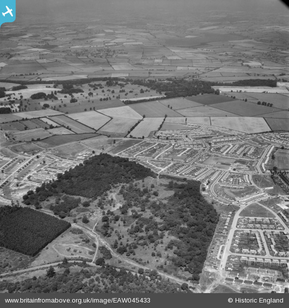
EAW045433 ENGLAND (1952). Rockingham Park, Thoroughsale Wood and the surrounding residential area, Corby, from the south-east, 1952
© Copyright OpenStreetMap contributors and licensed by the OpenStreetMap Foundation. 2026. Cartography is licensed as CC BY-SA.
Nearby Images (2)
EAW045433

EAW051443

Details
| Title | [EAW045433] Rockingham Park, Thoroughsale Wood and the surrounding residential area, Corby, from the south-east, 1952 |
| Reference | EAW045433 |
| Date | 6-August-1952 |
| Link | |
| Place name | CORBY |
| Parish | |
| District | |
| Country | ENGLAND |
| Easting / Northing | 487713, 289172 |
| Longitude / Latitude | -0.7079328580277, 52.493029361653 |
| National Grid Reference | SP877892 |
Pins

Michael Mahon |
Sunday 11th of October 2015 09:32:33 PM | |
|
Michael Mahon |
Sunday 11th of October 2015 09:30:32 PM |