
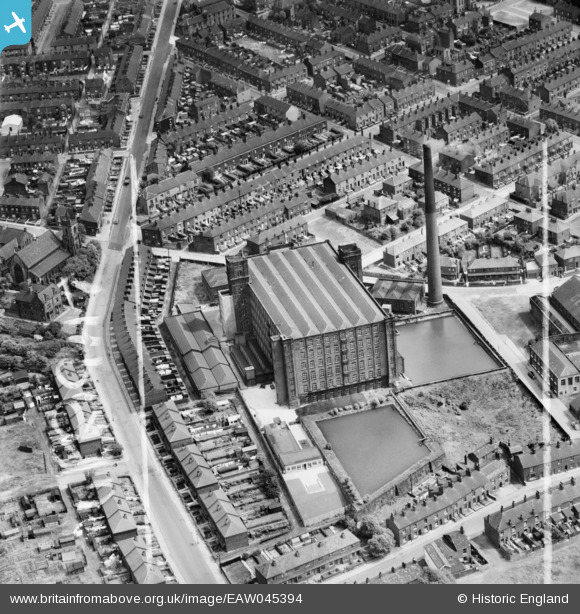
EAW045394 ENGLAND (1952). United Cotton Mill and environs, Oldham, 1952. This image was marked by Aerofilms Ltd for photo editing.
© Copyright OpenStreetMap contributors and licensed by the OpenStreetMap Foundation. 2026. Cartography is licensed as CC BY-SA.
Nearby Images (17)
EAW045394

EAW004596

EAW004595

EAW045392

EAW045390

EAW045391

EAW045393

EAW004598

EAW045387

EAW004601

EAW004597

EAW045388

EAW004599

EAW004602

EAW045389

EAW004603

EAW004600

Details
| Title | [EAW045394] United Cotton Mill and environs, Oldham, 1952. This image was marked by Aerofilms Ltd for photo editing. |
| Reference | EAW045394 |
| Date | 28-July-1952 |
| Link | |
| Place name | OLDHAM |
| Parish | |
| District | |
| Country | ENGLAND |
| Easting / Northing | 390868, 403945 |
| Longitude / Latitude | -2.1377866023339, 53.531835935754 |
| National Grid Reference | SD909039 |
Pins
Be the first to add a comment to this image!