
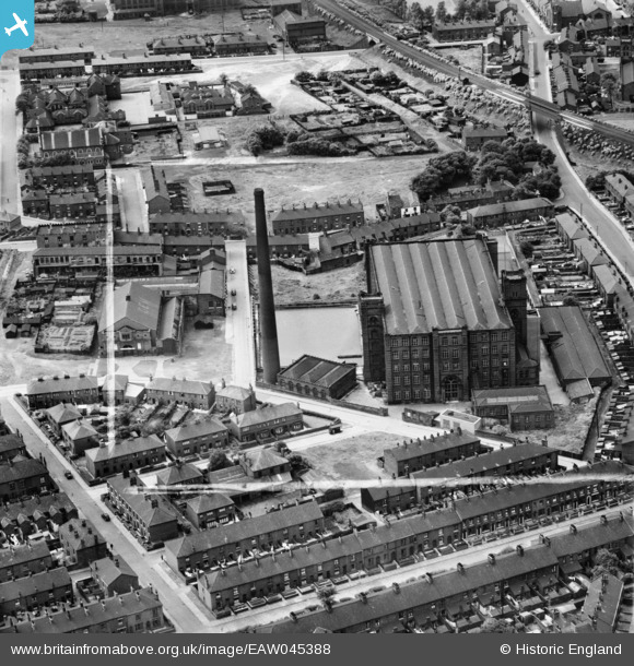
EAW045388 ENGLAND (1952). United Cotton Mill and environs, Oldham, 1952. This image was marked by Aerofilms Ltd for photo editing.
© Copyright OpenStreetMap contributors and licensed by the OpenStreetMap Foundation. 2026. Cartography is licensed as CC BY-SA.
Nearby Images (17)
EAW045388

EAW004597

EAW045389

EAW004598

EAW004601

EAW004602

EAW045393

EAW004595

EAW004600

EAW045394

EAW004596

EAW045391

EAW045387

EAW045390

EAW004599

EAW045392

EAW004603

Details
| Title | [EAW045388] United Cotton Mill and environs, Oldham, 1952. This image was marked by Aerofilms Ltd for photo editing. |
| Reference | EAW045388 |
| Date | 28-July-1952 |
| Link | |
| Place name | OLDHAM |
| Parish | |
| District | |
| Country | ENGLAND |
| Easting / Northing | 390873, 403881 |
| Longitude / Latitude | -2.1377092944867, 53.531260701817 |
| National Grid Reference | SD909039 |
Pins

United Mill |
Thursday 14th of December 2017 04:50:43 PM | |
|
Mike T. |
Monday 25th of July 2016 04:44:59 AM | |
|
United Mill |
Saturday 3rd of January 2015 02:54:54 PM | |
|
eddief |
Thursday 6th of November 2014 07:41:13 PM | |
|
eddief |
Thursday 6th of November 2014 07:39:48 PM | |
|
eddief |
Thursday 6th of November 2014 07:38:19 PM | |
|
eddief |
Thursday 6th of November 2014 07:37:49 PM | |
|
eddief |
Thursday 6th of November 2014 07:34:12 PM | |
|
eddief |
Thursday 6th of November 2014 07:33:34 PM | |
|
eddief |
Thursday 6th of November 2014 07:33:12 PM |