
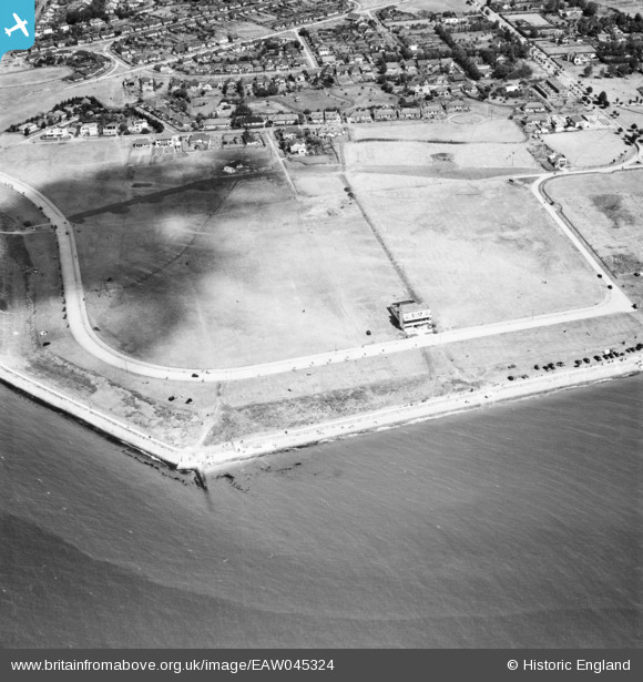
EAW045324 ENGLAND (1952). Western Esplanade and the residential area around Cleveland Road, Canvey Island, 1952
© Copyright OpenStreetMap contributors and licensed by the OpenStreetMap Foundation. 2026. Cartography is licensed as CC BY-SA.
Nearby Images (13)
EAW045324

EAW051015

EAW051056

EAW051055

EAW045336

EAW045325

EAW051014

EAW045323

EAW051054

EAW051016

EAW026916

EAW045322

EAW051053

Details
| Title | [EAW045324] Western Esplanade and the residential area around Cleveland Road, Canvey Island, 1952 |
| Reference | EAW045324 |
| Date | 2-August-1952 |
| Link | |
| Place name | CANVEY ISLAND |
| Parish | CANVEY ISLAND |
| District | |
| Country | ENGLAND |
| Easting / Northing | 579860, 182405 |
| Longitude / Latitude | 0.5922621867123, 51.511418479479 |
| National Grid Reference | TQ799824 |
Pins
Be the first to add a comment to this image!