
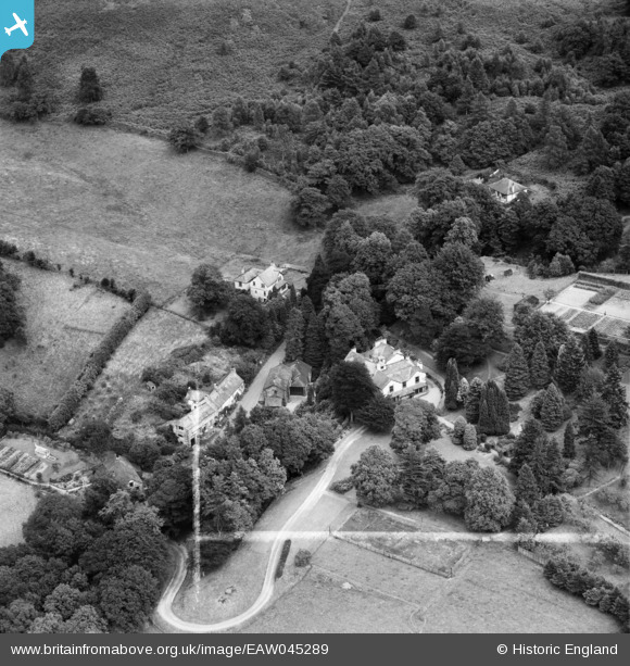
EAW045289 ENGLAND (1952). Ghyll Head House, Ghyll Head, 1952. This image was marked by Aerofilms Ltd for photo editing.
© Copyright OpenStreetMap contributors and licensed by the OpenStreetMap Foundation. 2025. Cartography is licensed as CC BY-SA.
Nearby Images (9)
EAW045289

EAW045290

EAW045287

EAW045296

EAW045288

EAW045294

EAW045293

EAW045292

EAW045291

Details
| Title | [EAW045289] Ghyll Head House, Ghyll Head, 1952. This image was marked by Aerofilms Ltd for photo editing. |
| Reference | EAW045289 |
| Date | 25-July-1952 |
| Link | |
| Place name | GHYLL HEAD |
| Parish | CARTMEL FELL |
| District | |
| Country | ENGLAND |
| Easting / Northing | 339416, 492790 |
| Longitude / Latitude | -2.9316649809475, 54.32692976031 |
| National Grid Reference | SD394928 |
Pins
Be the first to add a comment to this image!