
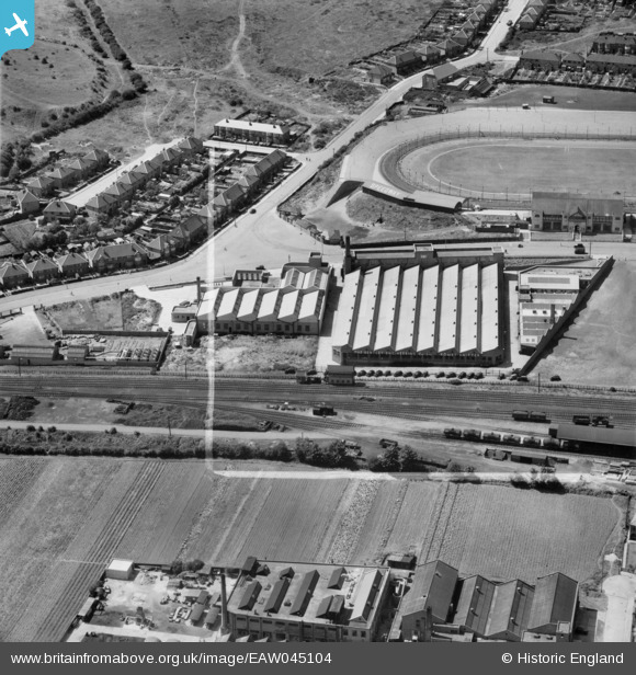
EAW045104 ENGLAND (1952). The Wildt Mellor Bromley Hosiery & Engineering Works off Parker Drive, Leicester, 1952. This image was marked by Aerofilms Ltd for photo editing.
© Copyright OpenStreetMap contributors and licensed by the OpenStreetMap Foundation. 2026. Cartography is licensed as CC BY-SA.
Nearby Images (20)
EAW045104

EAW045101

EAW045100

EAW045102

EAW045105

EAW045103

EPW021008

EAW045352

EPW021007

EPW035992

EPW021865
, Leicester, 1928")
EPW035991

EAW033024

EAW033021

EAW033018

EAW033025

EAW033022

EAW033016

EAW033019

EAW033023

Details
| Title | [EAW045104] The Wildt Mellor Bromley Hosiery & Engineering Works off Parker Drive, Leicester, 1952. This image was marked by Aerofilms Ltd for photo editing. |
| Reference | EAW045104 |
| Date | 22-July-1952 |
| Link | |
| Place name | LEICESTER |
| Parish | |
| District | |
| Country | ENGLAND |
| Easting / Northing | 458051, 306446 |
| Longitude / Latitude | -1.1417792515097, 52.652284352815 |
| National Grid Reference | SK581064 |
Pins

ColintheFox |
Monday 17th of August 2020 03:21:19 PM | |
|
gBr |
Sunday 22nd of November 2015 06:20:04 PM |