
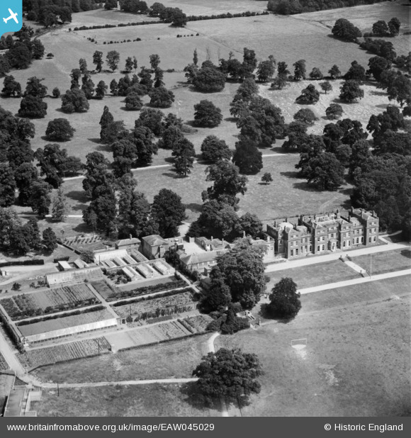
EAW045029 ENGLAND (1952). St Benedict's School, Wokefield Park, 1952
© Copyright OpenStreetMap contributors and licensed by the OpenStreetMap Foundation. 2025. Cartography is licensed as CC BY-SA.
Nearby Images (9)
EAW045029

EAW045037

EAW045038

EAW045034

EAW045032

EAW045030

EAW045031

EAW045033

EAW045036

Details
| Title | [EAW045029] St Benedict's School, Wokefield Park, 1952 |
| Reference | EAW045029 |
| Date | 26-July-1952 |
| Link | |
| Place name | WOKEFIELD PARK |
| Parish | WOKEFIELD |
| District | |
| Country | ENGLAND |
| Easting / Northing | 467293, 165778 |
| Longitude / Latitude | -1.0328342809984, 51.386555535774 |
| National Grid Reference | SU673658 |
Pins
Be the first to add a comment to this image!