
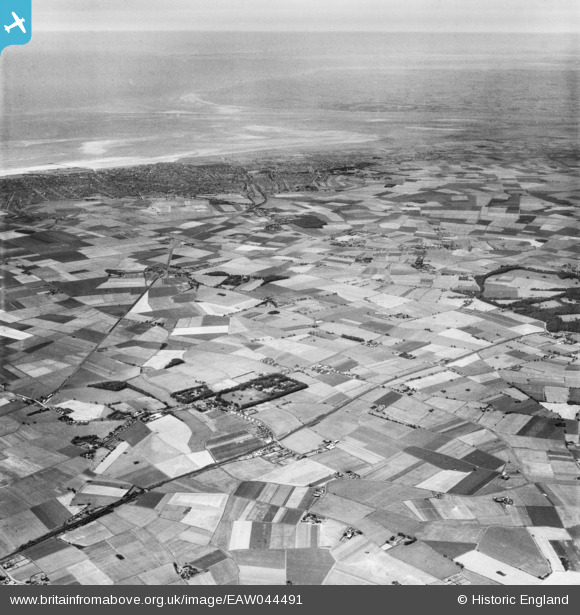
EAW044491 ENGLAND (1952). The area between the Leeds and Liverpool Canal and Southport, Halsall, from the south-east, 1952
© Copyright OpenStreetMap contributors and licensed by the OpenStreetMap Foundation. 2025. Cartography is licensed as CC BY-SA.
Nearby Images (2)
EAW044491

EAW044490

Details
| Title | [EAW044491] The area between the Leeds and Liverpool Canal and Southport, Halsall, from the south-east, 1952 |
| Reference | EAW044491 |
| Date | 4-July-1952 |
| Link | |
| Place name | HALSALL |
| Parish | HALSALL |
| District | |
| Country | ENGLAND |
| Easting / Northing | 337655, 409841 |
| Longitude / Latitude | -2.9417897637093, 53.581210018082 |
| National Grid Reference | SD377098 |
Pins

redmist |
Tuesday 29th of November 2022 10:45:34 PM | |
|
Captain Biscuit |
Monday 29th of April 2019 03:22:02 AM |
