
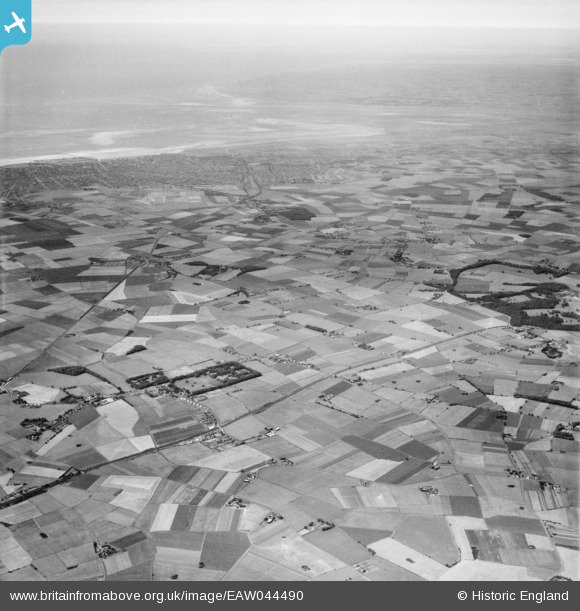
EAW044490 ENGLAND (1952). The area between the Leeds and Liverpool Canal and Southport, Halsall, from the south-east, 1952
© Copyright OpenStreetMap contributors and licensed by the OpenStreetMap Foundation. 2025. Cartography is licensed as CC BY-SA.
Nearby Images (2)
EAW044490

EAW044491

Details
| Title | [EAW044490] The area between the Leeds and Liverpool Canal and Southport, Halsall, from the south-east, 1952 |
| Reference | EAW044490 |
| Date | 4-July-1952 |
| Link | |
| Place name | HALSALL |
| Parish | HALSALL |
| District | |
| Country | ENGLAND |
| Easting / Northing | 337888, 409867 |
| Longitude / Latitude | -2.9382757375393, 53.581471360926 |
| National Grid Reference | SD379099 |
Pins

redmist |
Monday 15th of February 2021 10:34:43 AM |