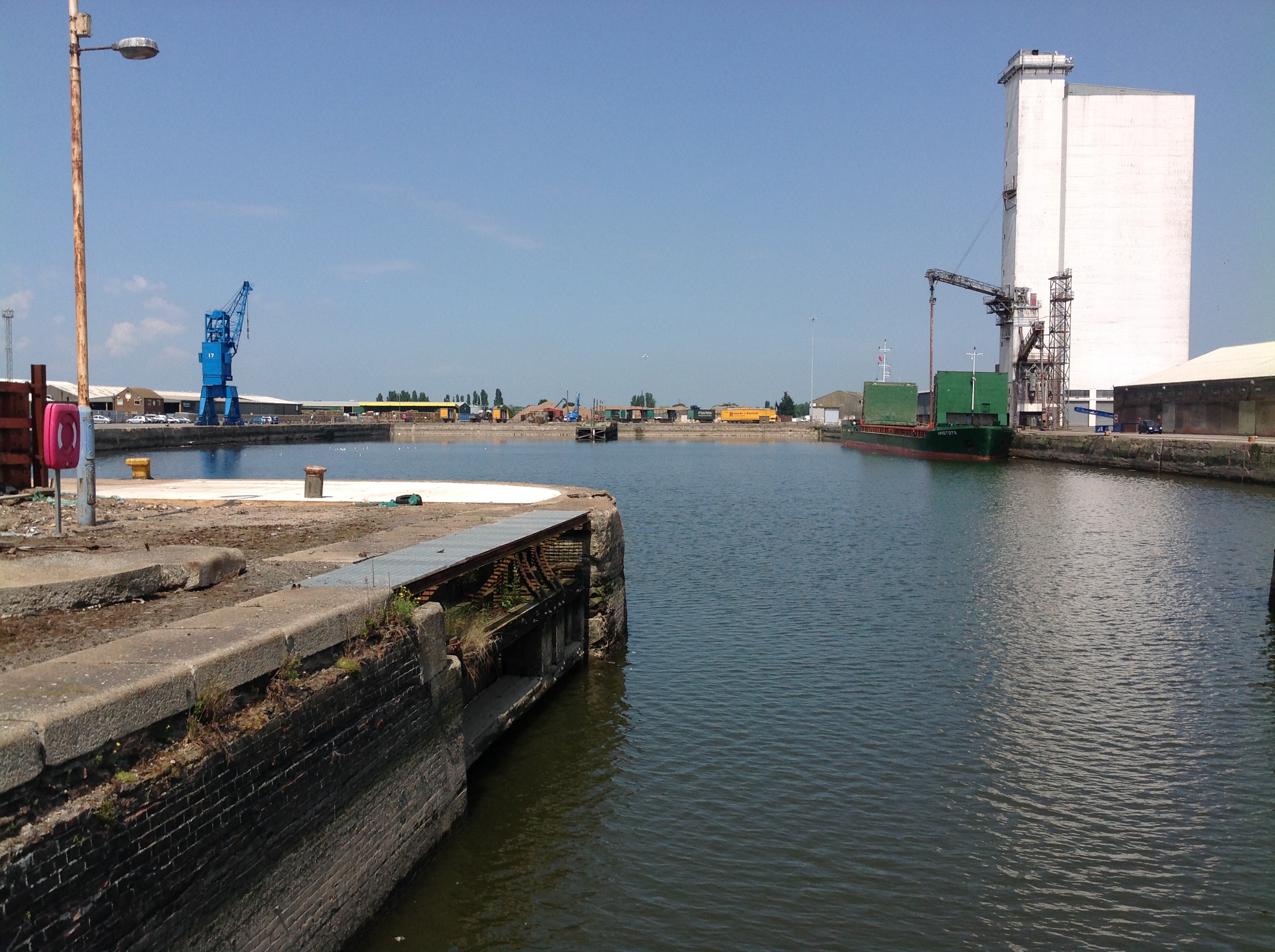
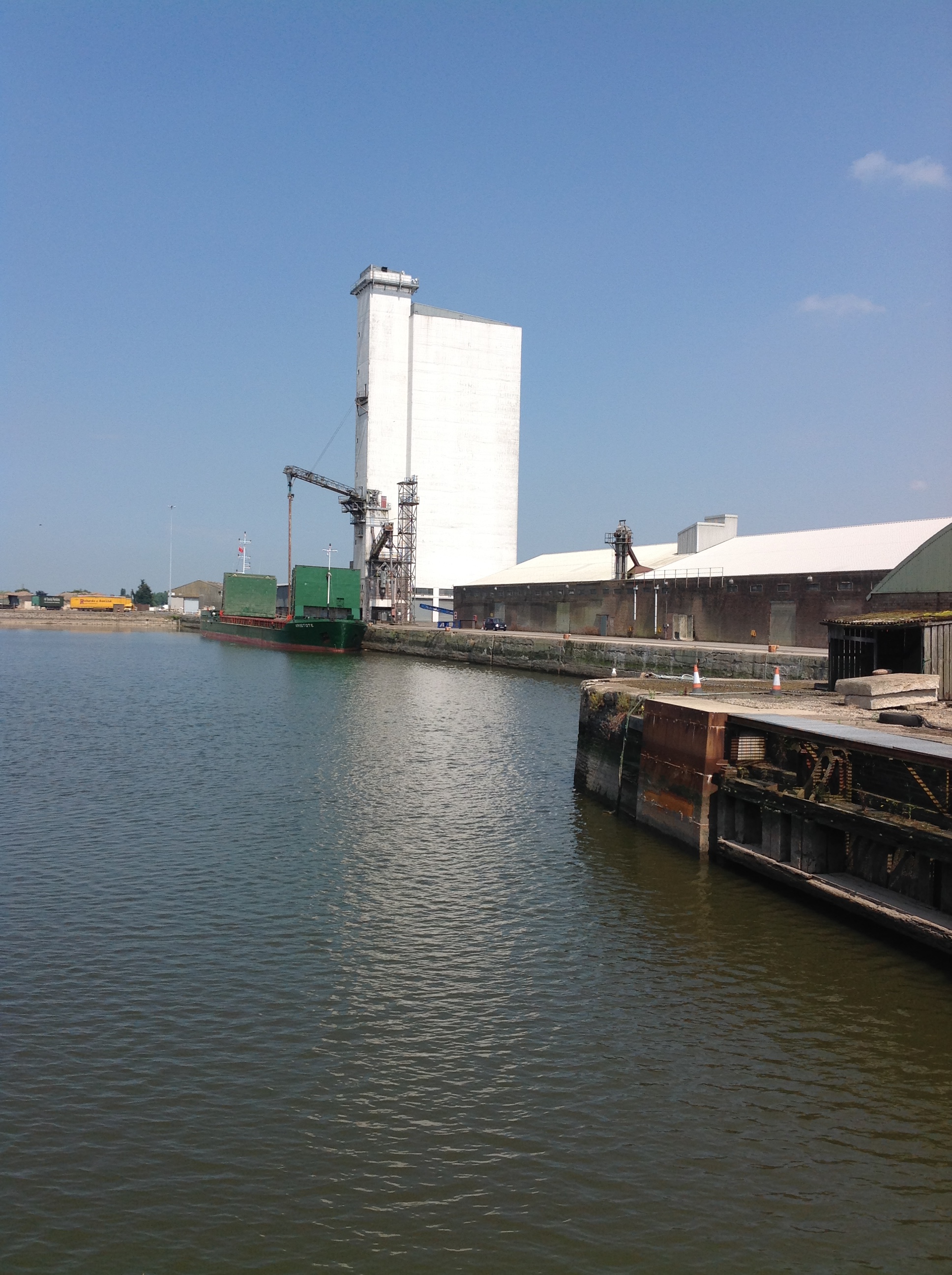
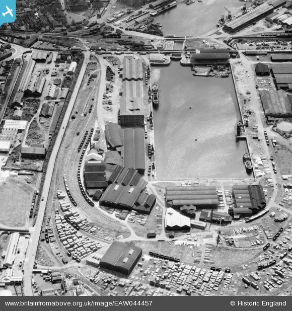
EAW044457 ENGLAND (1952). Bentinck Dock, King's Lynn, 1952
© Copyright OpenStreetMap contributors and licensed by the OpenStreetMap Foundation. 2026. Cartography is licensed as CC BY-SA.
Nearby Images (12)
EAW044457

EAW044456

EAW044422

EAW044424

EAW044425

EAW044421

EAW044455

EAW044458

EPW021481

EPW043353

EPW043355

EPW039192

Details
| Title | [EAW044457] Bentinck Dock, King's Lynn, 1952 |
| Reference | EAW044457 |
| Date | 27-June-1952 |
| Link | |
| Place name | KING'S LYNN |
| Parish | |
| District | |
| Country | ENGLAND |
| Easting / Northing | 561864, 320997 |
| Longitude / Latitude | 0.39915320750193, 52.761952195122 |
| National Grid Reference | TF619210 |