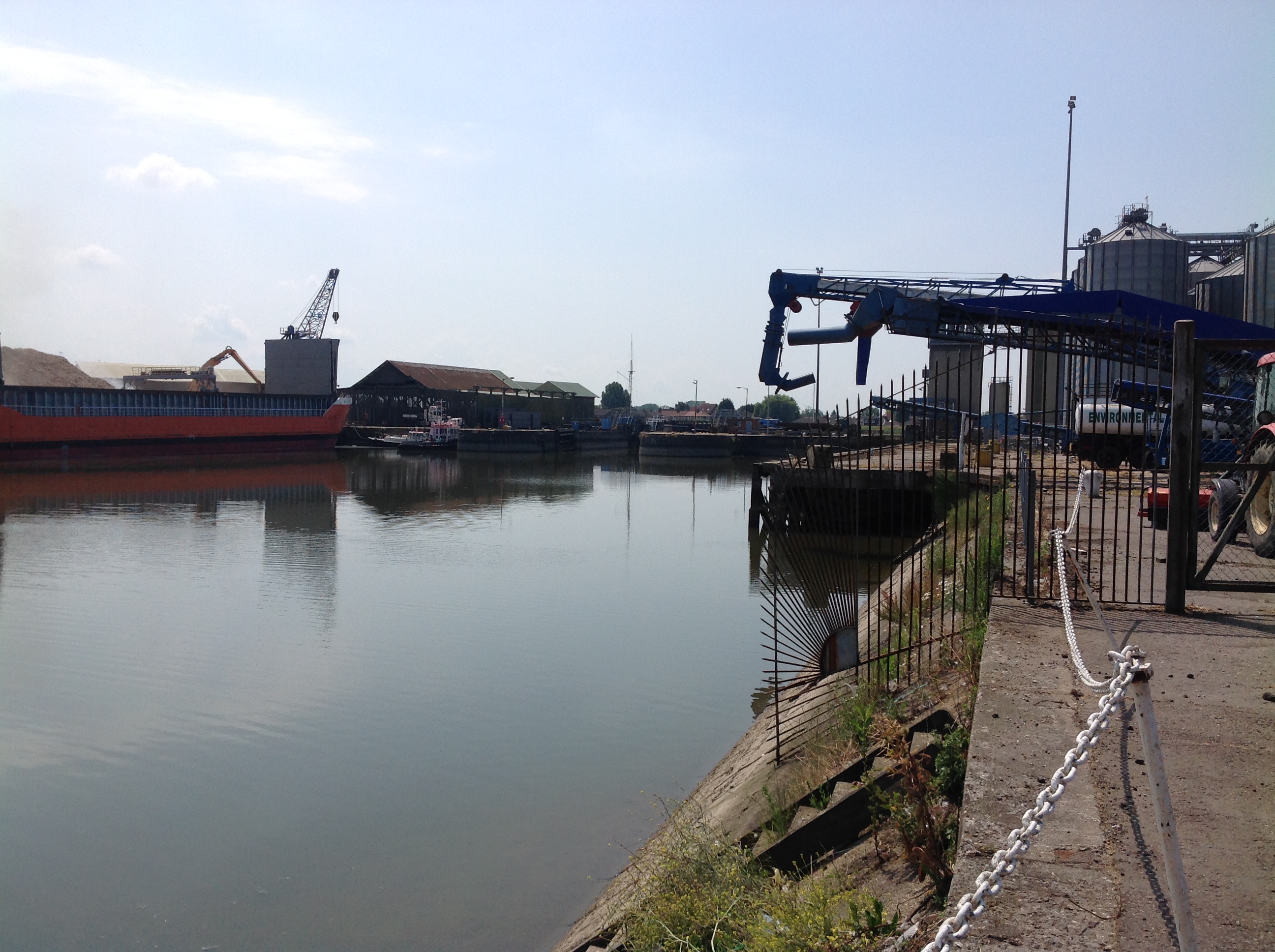
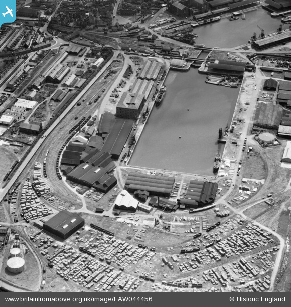
EAW044456 ENGLAND (1952). Bentinck Dock, King's Lynn, 1952
© Copyright OpenStreetMap contributors and licensed by the OpenStreetMap Foundation. 2026. Cartography is licensed as CC BY-SA.
Nearby Images (12)
EAW044456

EAW044457

EAW044422

EAW044424

EAW044425

EAW044458

EAW044421

EAW044455

EPW021481

EPW043353

EPW043355

EPW039192

Details
| Title | [EAW044456] Bentinck Dock, King's Lynn, 1952 |
| Reference | EAW044456 |
| Date | 27-June-1952 |
| Link | |
| Place name | KING'S LYNN |
| Parish | |
| District | |
| Country | ENGLAND |
| Easting / Northing | 561846, 321023 |
| Longitude / Latitude | 0.39889950662648, 52.762191138094 |
| National Grid Reference | TF618210 |
Pins

Class31 |
Thursday 11th of September 2014 12:32:20 PM | |
|
Class31 |
Thursday 11th of September 2014 12:31:34 PM | |
|
Class31 |
Thursday 11th of September 2014 12:30:21 PM | |
|
Class31 |
Thursday 11th of September 2014 12:29:10 PM | |
|
Class31 |
Thursday 11th of September 2014 12:28:25 PM | |
|
Class31 |
Thursday 11th of September 2014 12:26:27 PM |