
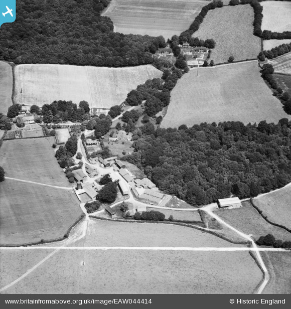
EAW044414 ENGLAND (1952). Hookland Farm at Scaynes Hill, Walstead, 1952. This image was marked by Aerofilms Ltd for photo editing.
© Copyright OpenStreetMap contributors and licensed by the OpenStreetMap Foundation. 2025. Cartography is licensed as CC BY-SA.
Nearby Images (6)
EAW044414

EAW044415

EAW044416

EAW044413

EAW049290

EAW049289

Details
| Title | [EAW044414] Hookland Farm at Scaynes Hill, Walstead, 1952. This image was marked by Aerofilms Ltd for photo editing. |
| Reference | EAW044414 |
| Date | 28-June-1952 |
| Link | |
| Place name | WALSTEAD |
| Parish | LINDFIELD RURAL |
| District | |
| Country | ENGLAND |
| Easting / Northing | 536549, 122163 |
| Longitude / Latitude | -0.054498786291691, 50.982116407886 |
| National Grid Reference | TQ365222 |
Pins
Be the first to add a comment to this image!