
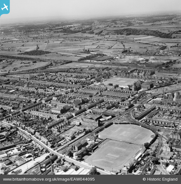
EAW044095 ENGLAND (1952). Sports Ground and Playing Field on Lichfield Road looking towards Birmingham Curve Junction, Burton upon Trent, from the north-east, 1952
© Copyright OpenStreetMap contributors and licensed by the OpenStreetMap Foundation. 2026. Cartography is licensed as CC BY-SA.
Nearby Images (2)
EAW044095

EAW051837

Details
| Title | [EAW044095] Sports Ground and Playing Field on Lichfield Road looking towards Birmingham Curve Junction, Burton upon Trent, from the north-east, 1952 |
| Reference | EAW044095 |
| Date | 10-June-1952 |
| Link | |
| Place name | BURTON UPON TRENT |
| Parish | BURTON |
| District | |
| Country | ENGLAND |
| Easting / Northing | 424477, 322382 |
| Longitude / Latitude | -1.6369280193187, 52.798111231103 |
| National Grid Reference | SK245224 |
Pins

Helen |
Thursday 30th of April 2026 08:30:59 PM | |
|
Helen |
Thursday 30th of April 2026 08:29:38 PM | |
|
Helen |
Thursday 30th of April 2026 08:27:53 PM | |
|
Helen |
Thursday 30th of April 2026 08:26:51 PM | |
|
gBr |
Thursday 3rd of September 2015 07:26:56 PM | |
|
gBr |
Thursday 3rd of September 2015 07:22:04 PM | |
|
gBr |
Thursday 3rd of September 2015 07:21:09 PM | |
|
gBr |
Thursday 3rd of September 2015 07:20:13 PM | |
|
gBr |
Sunday 21st of September 2014 05:10:33 PM |