
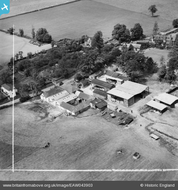
EAW043903 ENGLAND (1952). East Mascalls Farm, East Mascalls, 1952. This image was marked by Aerofilms Ltd for photo editing.
© Copyright OpenStreetMap contributors and licensed by the OpenStreetMap Foundation. 2026. Cartography is licensed as CC BY-SA.
Nearby Images (9)
EAW043903

EAW043906

EAW043902

EAW043904

EAW043901

EAW043900

EAW043905

EAW043917

EAW043907

Details
| Title | [EAW043903] East Mascalls Farm, East Mascalls, 1952. This image was marked by Aerofilms Ltd for photo editing. |
| Reference | EAW043903 |
| Date | 10-June-1952 |
| Link | |
| Place name | EAST MASCALLS |
| Parish | LINDFIELD RURAL |
| District | |
| Country | ENGLAND |
| Easting / Northing | 536611, 125569 |
| Longitude / Latitude | -0.052334339742616, 51.012715108804 |
| National Grid Reference | TQ366256 |
Pins
Be the first to add a comment to this image!