
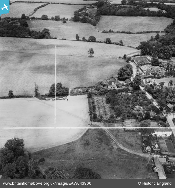
EAW043900 ENGLAND (1952). East Mascalls Farm, East Mascalls, 1952. This image was marked by Aerofilms Ltd for photo editing.
© Copyright OpenStreetMap contributors and licensed by the OpenStreetMap Foundation. 2026. Cartography is licensed as CC BY-SA.
Nearby Images (7)
EAW043900

EAW043901

EAW043903

EAW043906

EAW043902

EAW043904

EAW043905

Details
| Title | [EAW043900] East Mascalls Farm, East Mascalls, 1952. This image was marked by Aerofilms Ltd for photo editing. |
| Reference | EAW043900 |
| Date | 10-June-1952 |
| Link | |
| Place name | EAST MASCALLS |
| Parish | LINDFIELD RURAL |
| District | |
| Country | ENGLAND |
| Easting / Northing | 536517, 125656 |
| Longitude / Latitude | -0.053640927898045, 51.013519394903 |
| National Grid Reference | TQ365257 |
Pins

M Anton |
Tuesday 3rd of July 2018 11:03:36 AM |