
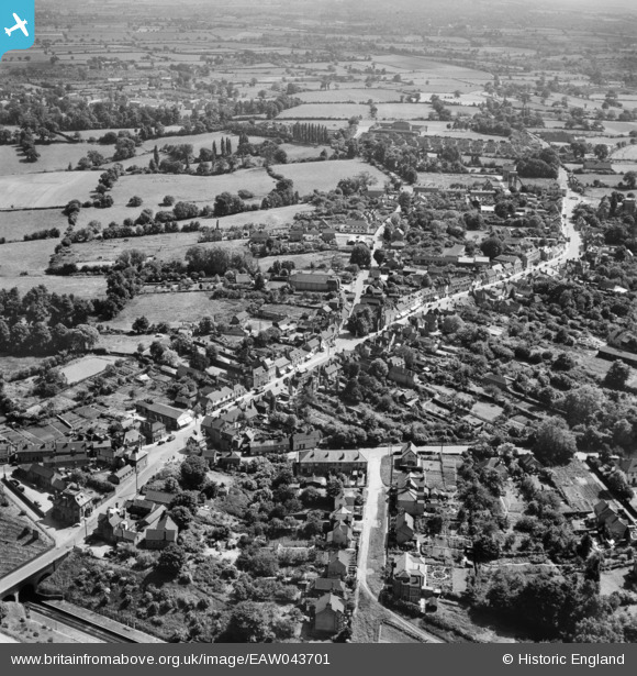
EAW043701 ENGLAND (1952). The High Street, Chapel Street and the town, Billericay, from the north, 1952
© Copyright OpenStreetMap contributors and licensed by the OpenStreetMap Foundation. 2026. Cartography is licensed as CC BY-SA.
Nearby Images (3)
EAW043701

EPW022338

EAW043702

Details
| Title | [EAW043701] The High Street, Chapel Street and the town, Billericay, from the north, 1952 |
| Reference | EAW043701 |
| Date | 4-June-1952 |
| Link | |
| Place name | BILLERICAY |
| Parish | BILLERICAY |
| District | |
| Country | ENGLAND |
| Easting / Northing | 567484, 194834 |
| Longitude / Latitude | 0.41999302757399, 51.62689010554 |
| National Grid Reference | TQ675948 |
Pins

Class31 |
Friday 27th of February 2015 10:49:45 PM |