
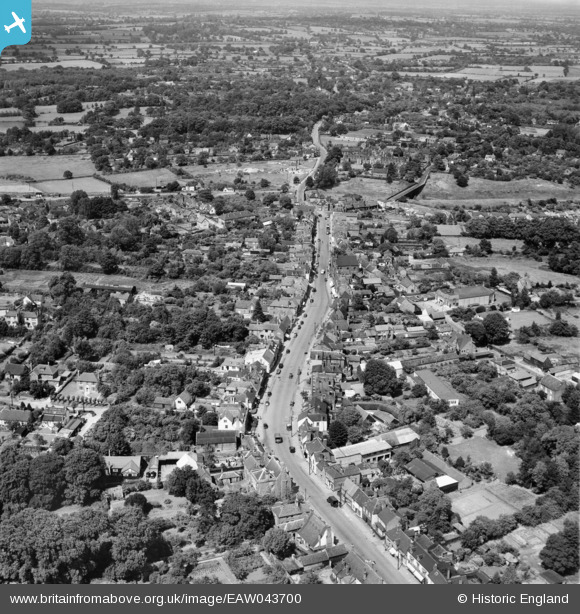
EAW043700 ENGLAND (1952). The High Street and town, Billericay, from the south-west, 1952
© Copyright OpenStreetMap contributors and licensed by the OpenStreetMap Foundation. 2026. Cartography is licensed as CC BY-SA.
Nearby Images (4)
EAW043700

EAW043699

EAW043702

EPW022338

Details
| Title | [EAW043700] The High Street and town, Billericay, from the south-west, 1952 |
| Reference | EAW043700 |
| Date | 4-June-1952 |
| Link | |
| Place name | BILLERICAY |
| Parish | BILLERICAY |
| District | |
| Country | ENGLAND |
| Easting / Northing | 567380, 194516 |
| Longitude / Latitude | 0.4183397772082, 51.624064047637 |
| National Grid Reference | TQ674945 |
Pins

Class31 |
Friday 27th of February 2015 10:50:13 PM |