
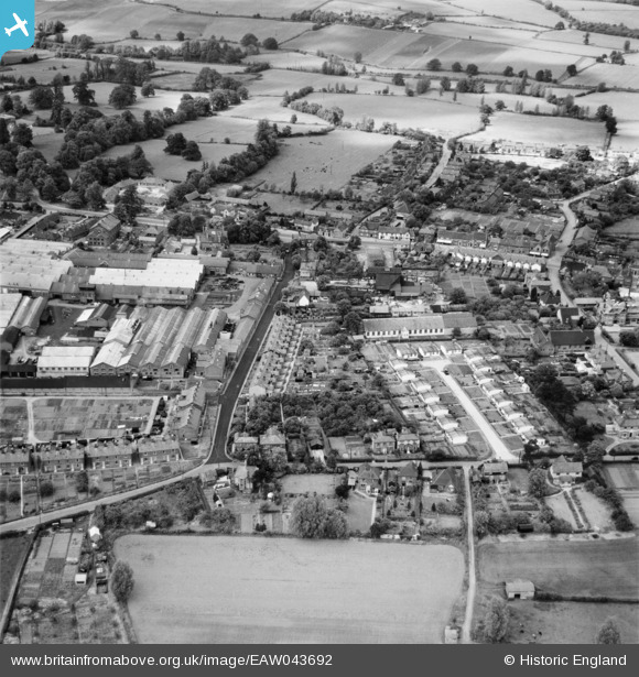
EAW043692 ENGLAND (1952). Foundry Lane, Park Lane Close and environs, Earls Colne, 1952
© Copyright OpenStreetMap contributors and licensed by the OpenStreetMap Foundation. 2026. Cartography is licensed as CC BY-SA.
Nearby Images (14)
EAW043692

EAW011332
, Earls Colne, 1947. This image was marked by Aerofilms Ltd for photo editing.")
EAW011327
, Earls Colne, 1947. This image was marked by Aerofilms Ltd for photo editing.")
EAW011331
, Earls Colne, from the south-east, 1947. This image was marked by Aerofilms Ltd for photo editing.")
EAW011324
 and the village, Earls Colne, 1947. This image was marked by Aerofilms Ltd for photo editing.")
EAW011322
, Earls Colne, 1947. This image was marked by Aerofilms Ltd for photo editing.")
EAW011330
, Earls Colne, 1947. This image was marked by Aerofilms Ltd for photo editing.")
EAW011323
 and the village, Earls Colne, 1947. This image was marked by Aerofilms Ltd for photo editing.")
EAW011321
, Earls Colne, 1947. This image was marked by Aerofilms Ltd for photo editing.")
EAW011329
, Earls Colne, from the south-west, 1947")
EAW011326
, Earls Colne, 1947. This image was marked by Aerofilms Ltd for photo editing.")
EAW011333
, Earls Colne, 1947. This image was marked by Aerofilms Ltd for photo editing.")
EAW011328
, Earls Colne, from the north-west, 1947. This image was marked by Aerofilms Ltd for photo editing.")
EAW043694

Details
| Title | [EAW043692] Foundry Lane, Park Lane Close and environs, Earls Colne, 1952 |
| Reference | EAW043692 |
| Date | 4-June-1952 |
| Link | |
| Place name | EARLS COLNE |
| Parish | EARLS COLNE |
| District | |
| Country | ENGLAND |
| Easting / Northing | 585597, 228811 |
| Longitude / Latitude | 0.69957704118262, 51.926394518474 |
| National Grid Reference | TL856288 |
Pins

fv43576 |
Thursday 16th of January 2020 05:01:43 PM |