
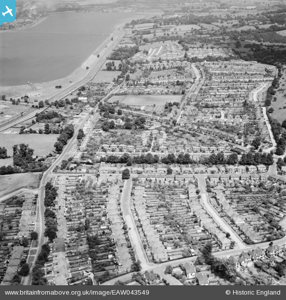
EAW043549 ENGLAND (1952). Housing to the north and south of Kings Head Hill, Chingford, 1952
© Copyright OpenStreetMap contributors and licensed by the OpenStreetMap Foundation. 2025. Cartography is licensed as CC BY-SA.
Nearby Images (2)
EAW043549

EAW043547

Details
| Title | [EAW043549] Housing to the north and south of Kings Head Hill, Chingford, 1952 |
| Reference | EAW043549 |
| Date | 4-June-1952 |
| Link | |
| Place name | CHINGFORD |
| Parish | |
| District | |
| Country | ENGLAND |
| Easting / Northing | 537727, 194661 |
| Longitude / Latitude | -0.0097273429441916, 51.633407845025 |
| National Grid Reference | TQ377947 |
Pins
Be the first to add a comment to this image!