
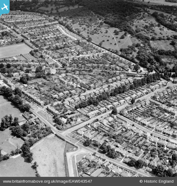
EAW043547 ENGLAND (1952). Housing to the north and south of Kings Head Hill, Chingford, 1952
© Copyright OpenStreetMap contributors and licensed by the OpenStreetMap Foundation. 2025. Cartography is licensed as CC BY-SA.
Nearby Images (2)
EAW043547

EAW043549

Details
| Title | [EAW043547] Housing to the north and south of Kings Head Hill, Chingford, 1952 |
| Reference | EAW043547 |
| Date | 4-June-1952 |
| Link | |
| Place name | CHINGFORD |
| Parish | |
| District | |
| Country | ENGLAND |
| Easting / Northing | 537748, 194630 |
| Longitude / Latitude | -0.0094362719255852, 51.63312410955 |
| National Grid Reference | TQ377946 |
Pins
Be the first to add a comment to this image!