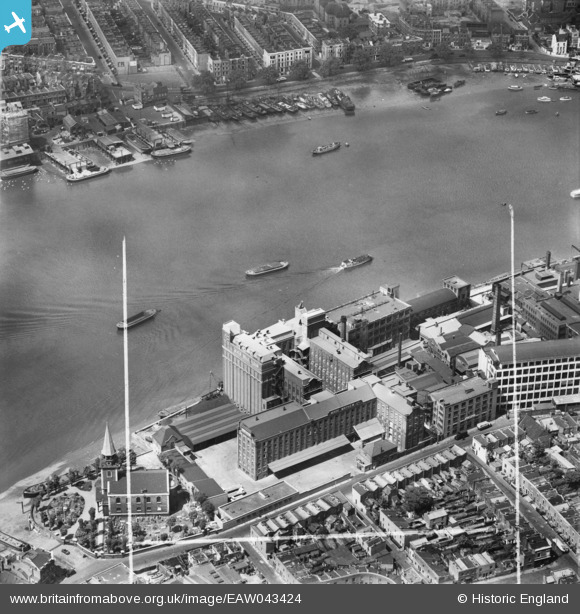
EAW043424 ENGLAND (1952). Battersea Flour Mills and St Mary's Church, Battersea, 1952. This image was marked by Aerofilms Ltd for photo editing.
© Copyright OpenStreetMap contributors and licensed by the OpenStreetMap Foundation. 2026. Cartography is licensed as CC BY-SA.
Nearby Images (7)
Details
| Title | [EAW043424] Battersea Flour Mills and St Mary's Church, Battersea, 1952. This image was marked by Aerofilms Ltd for photo editing. |
| Reference | EAW043424 |
| Date | 28-May-1952 |
| Link | |
| Place name | BATTERSEA |
| Parish | |
| District | |
| Country | ENGLAND |
| Easting / Northing | 526786, 177029 |
| Longitude / Latitude | -0.17410196572936, 51.477507130226 |
| National Grid Reference | TQ268770 |
Pins

Class31 |
Tuesday 9th of December 2014 09:03:59 AM | |

Class31 |
Tuesday 9th of December 2014 09:02:57 AM | |

Class31 |
Tuesday 9th of December 2014 08:49:14 AM | |

Class31 |
Tuesday 9th of December 2014 08:48:21 AM | |

Alan McFaden |
Sunday 15th of June 2014 03:46:56 PM | |

Alan McFaden |
Tuesday 10th of June 2014 08:59:00 PM |
User Comment Contributions

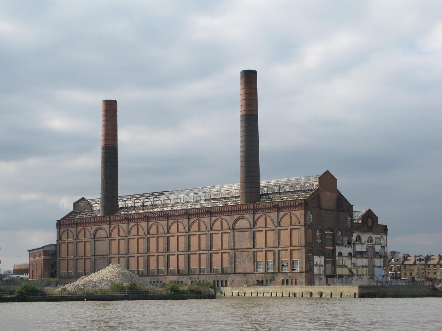
Lots Road Power Station 2011 |

Alan McFaden |
Wednesday 24th of December 2014 01:56:29 PM |
From Cheyne Walk, 23/09/2014 |

Class31 |
Tuesday 9th of December 2014 09:04:42 AM |
From Imperial Wharf towards St Mary’s Church Battersea, 23/09/2014 |

Class31 |
Tuesday 9th of December 2014 08:46:01 AM |


![[EAW043424] Battersea Flour Mills and St Mary's Church, Battersea, 1952. This image was marked by Aerofilms Ltd for photo editing.](http://britainfromabove.org.uk/sites/all/libraries/aerofilms-images/public/100x100/EAW/043/EAW043424.jpg)
![[EAW043422] The River Thames at Battersea Flour Mills and St Mary's Church, Battersea, 1952. This image was marked by Aerofilms Ltd for photo editing.](http://britainfromabove.org.uk/sites/all/libraries/aerofilms-images/public/100x100/EAW/043/EAW043422.jpg)
![[EAW043423] Battersea Flour Mills and St Mary's Church, Battersea, 1952. This image was marked by Aerofilms Ltd for photo editing.](http://britainfromabove.org.uk/sites/all/libraries/aerofilms-images/public/100x100/EAW/043/EAW043423.jpg)
![[EAW043420] Battersea Flour Mills, Battersea, 1952. This image was marked by Aerofilms Ltd for photo editing.](http://britainfromabove.org.uk/sites/all/libraries/aerofilms-images/public/100x100/EAW/043/EAW043420.jpg)
![[EAW043421] Battersea Flour Mills and St Mary's Church, Battersea, 1952. This image was marked by Aerofilms Ltd for photo editing.](http://britainfromabove.org.uk/sites/all/libraries/aerofilms-images/public/100x100/EAW/043/EAW043421.jpg)
![[EAW009111] The River Thames and environs from Lots Road Power Station to Battersea Power Station, Chelsea, from the south-west, 1947](http://britainfromabove.org.uk/sites/all/libraries/aerofilms-images/public/100x100/EAW/009/EAW009111.jpg)
![[EPW059952] Battersea Reach of the River Thames, Battersea, 1938. This image has been produced from a print.](http://britainfromabove.org.uk/sites/all/libraries/aerofilms-images/public/100x100/EPW/059/EPW059952.jpg)

