
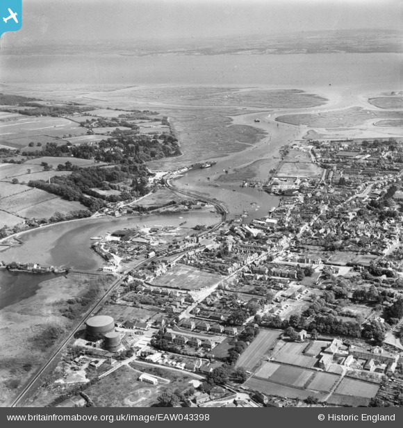
EAW043398 ENGLAND (1952). Lymington River and the Solent, Lymington, from the north-west, 1952
© Copyright OpenStreetMap contributors and licensed by the OpenStreetMap Foundation. 2026. Cartography is licensed as CC BY-SA.
Nearby Images (3)
EAW043398

EAW051598

EAW018160

Details
| Title | [EAW043398] Lymington River and the Solent, Lymington, from the north-west, 1952 |
| Reference | EAW043398 |
| Date | 23-May-1952 |
| Link | |
| Place name | LYMINGTON |
| Parish | LYMINGTON AND PENNINGTON |
| District | |
| Country | ENGLAND |
| Easting / Northing | 432549, 95924 |
| Longitude / Latitude | -1.5384555912186, 50.761425216568 |
| National Grid Reference | SZ325959 |
