
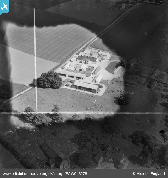
EAW043278 ENGLAND (1952). Manor Farm, East Wellow, 1952. This image has been produced from a damaged negative.
© Copyright OpenStreetMap contributors and licensed by the OpenStreetMap Foundation. 2026. Cartography is licensed as CC BY-SA.
Nearby Images (11)
EAW043278

EAW043276

EAW043275

EAW043279

EAW024374

EAW043280

EAW024373

EAW043277

EAW024375

EAW043281

EAW024372

Details
| Title | [EAW043278] Manor Farm, East Wellow, 1952. This image has been produced from a damaged negative. |
| Reference | EAW043278 |
| Date | 23-May-1952 |
| Link | |
| Place name | EAST WELLOW |
| Parish | WELLOW |
| District | |
| Country | ENGLAND |
| Easting / Northing | 430372, 120325 |
| Longitude / Latitude | -1.5672974459297, 50.980986846907 |
| National Grid Reference | SU304203 |
Pins

Andrew Bennett |
Friday 13th of June 2014 01:55:41 AM | |
|
Andrew Bennett |
Friday 13th of June 2014 01:45:34 AM | |

Class31 |
Friday 6th of June 2014 08:20:31 AM | |
|
Class31 |
Friday 6th of June 2014 08:20:04 AM | |
St Margaret's Church. Burial place of Florence Nightingale |
Andrew Bennett |
Friday 13th of June 2014 01:46:26 AM |
St Margaret's Church East and west Wellow never had a steeple |
chainbull |
Friday 25th of July 2014 10:59:14 PM |
User Comment Contributions
East Wellow, Hampshire |
Andrew Bennett |
Monday 30th of June 2014 01:23:07 PM |
Hi Andrew, it's good to get this little group onto the map. We’ll update the catalogue and post your new location details here in due course. Yours, Katy Britain from Above Cataloguing Team Leader |
Katy Whitaker |
Monday 30th of June 2014 01:23:07 PM |