
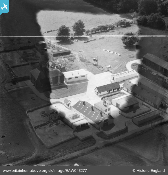
EAW043277 ENGLAND (1952). Manor Farm, East Wellow, 1952. This image has been produced from a damaged negative.
© Copyright OpenStreetMap contributors and licensed by the OpenStreetMap Foundation. 2026. Cartography is licensed as CC BY-SA.
Nearby Images (11)
EAW043277

EAW043280

EAW043275

EAW043279

EAW024374

EAW043276

EAW043278

EAW024375

EAW024372

EAW024373

EAW043281

Details
| Title | [EAW043277] Manor Farm, East Wellow, 1952. This image has been produced from a damaged negative. |
| Reference | EAW043277 |
| Date | 23-May-1952 |
| Link | |
| Place name | EAST WELLOW |
| Parish | WELLOW |
| District | |
| Country | ENGLAND |
| Easting / Northing | 430388, 120273 |
| Longitude / Latitude | -1.5670738537568, 50.980518363828 |
| National Grid Reference | SU304203 |
Pins
Be the first to add a comment to this image!
User Comment Contributions
Manor Farm, East Wellow, Hampshire |

Andrew Bennett |
Monday 30th of June 2014 01:22:05 PM |
Thanks Andrew, we’ll update the catalogue and post your new location details here in due course. Yours, Katy Britain from Above Cataloguing Team Leader |
Katy Whitaker |
Monday 30th of June 2014 01:22:05 PM |