
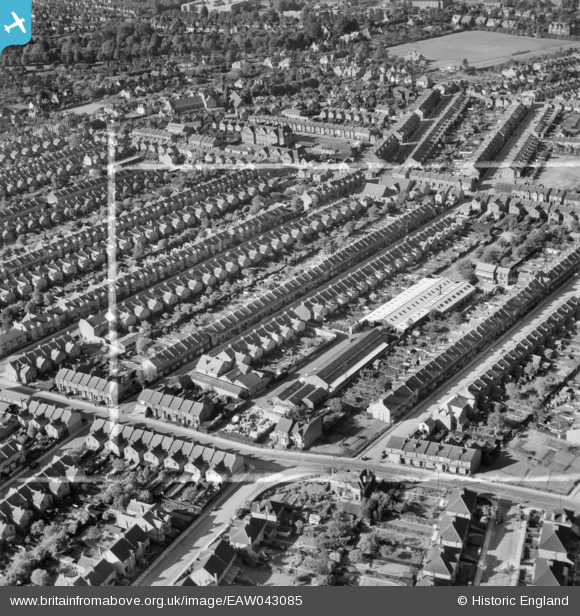
EAW043085 ENGLAND (1952). The Standard Range and Foundry Co Ltd Works and surrounding residential streets, Watford, 1952. This image was marked by Aerofilms Ltd for photo editing.
© Copyright OpenStreetMap contributors and licensed by the OpenStreetMap Foundation. 2025. Cartography is licensed as CC BY-SA.
Nearby Images (7)
EAW043085

EAW043082

EAW043083

EAW043079

EAW043078

EAW043080

EAW043084

Details
| Title | [EAW043085] The Standard Range and Foundry Co Ltd Works and surrounding residential streets, Watford, 1952. This image was marked by Aerofilms Ltd for photo editing. |
| Reference | EAW043085 |
| Date | 17-May-1952 |
| Link | |
| Place name | WATFORD |
| Parish | |
| District | |
| Country | ENGLAND |
| Easting / Northing | 510148, 195909 |
| Longitude / Latitude | -0.40768797885637, 51.65070361524 |
| National Grid Reference | TQ101959 |
Pins
Be the first to add a comment to this image!