
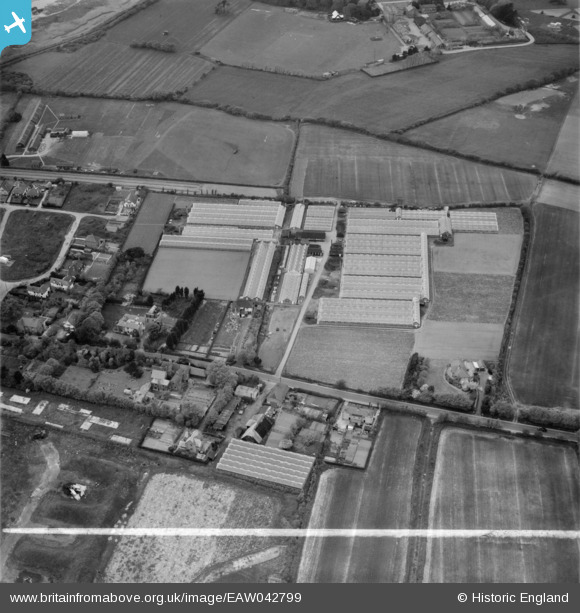
EAW042799 ENGLAND (1952). The Nursery on Stubbington Lane, Stubbington, 1952. This image was marked by Aerofilms Ltd for photo editing.
© Copyright OpenStreetMap contributors and licensed by the OpenStreetMap Foundation. 2026. Cartography is licensed as CC BY-SA.
Nearby Images (14)
EAW042799

EAW042794

EAW042798

EAW042803

EAW042793

EAW042802

EAW042796

EAW042804

EAW042800

EAW042795

EAW042806

EAW042797

EAW042805

EAW042801

Details
| Title | [EAW042799] The Nursery on Stubbington Lane, Stubbington, 1952. This image was marked by Aerofilms Ltd for photo editing. |
| Reference | EAW042799 |
| Date | 30-April-1952 |
| Link | |
| Place name | STUBBINGTON |
| Parish | |
| District | |
| Country | ENGLAND |
| Easting / Northing | 455409, 102066 |
| Longitude / Latitude | -1.2134005408769, 50.814925644901 |
| National Grid Reference | SU554021 |
Pins
Be the first to add a comment to this image!