
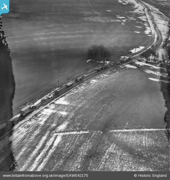
EAW042175 ENGLAND (1952). Queuing traffic on the A4, Knoll Down, 1952. This image has been produced from a damaged negative.
© Copyright OpenStreetMap contributors and licensed by the OpenStreetMap Foundation. 2026. Cartography is licensed as CC BY-SA.
Nearby Images (2)
EAW042175

EAW042173

Details
| Title | [EAW042175] Queuing traffic on the A4, Knoll Down, 1952. This image has been produced from a damaged negative. |
| Reference | EAW042175 |
| Date | 31-March-1952 |
| Link | |
| Place name | KNOLL DOWN |
| Parish | AVEBURY |
| District | |
| Country | ENGLAND |
| Easting / Northing | 407565, 169341 |
| Longitude / Latitude | -1.89118813161, 51.422536876197 |
| National Grid Reference | SU076693 |
Pins
Be the first to add a comment to this image!
User Comment Contributions
Snow fell in blizzard conditions on Saturday 29th March (Boat Race Day) over the south-east of England two days before this picture was taken. Snow moved up from France during gale force winds from the east resulting in deep drifting. Many roads were blocked. Other images from this flight show snow clearance in progress. The area of Wiltshire shown in this photo is very open and exposed to the weather. After this particularly bad snowfall, for several winters afterwards in the 1950's I remember seeing snow fences erected in the fields bordering the A4 as a preventative measure against a possible repeat of these snowy conditions. Added by Margaret, 29th April, 2015. |

Margaret |
Wednesday 29th of April 2015 06:12:19 PM |
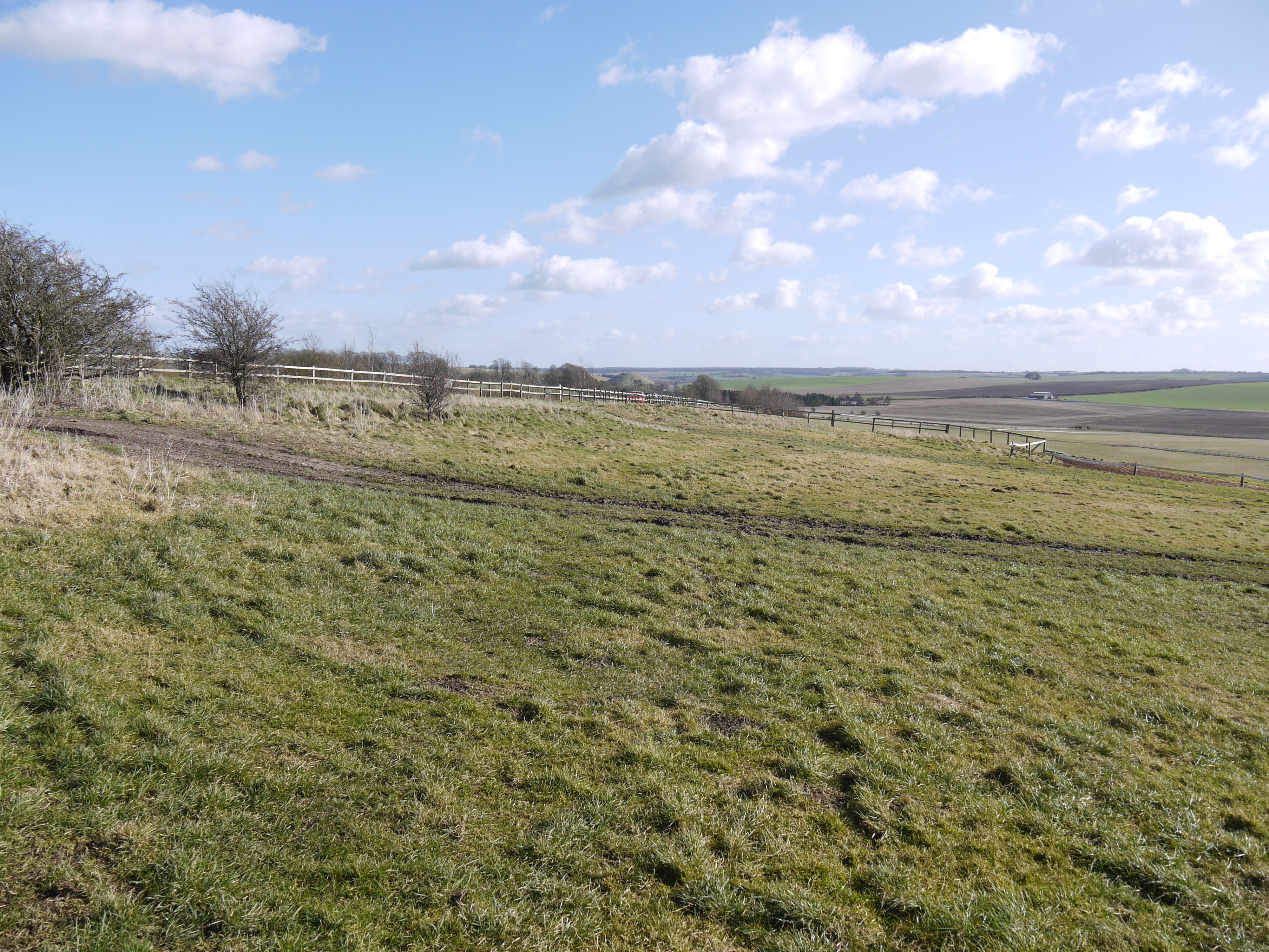
Knoll Down, Avebury, 02/03/2015 |

Class31 |
Monday 2nd of March 2015 05:00:14 PM |
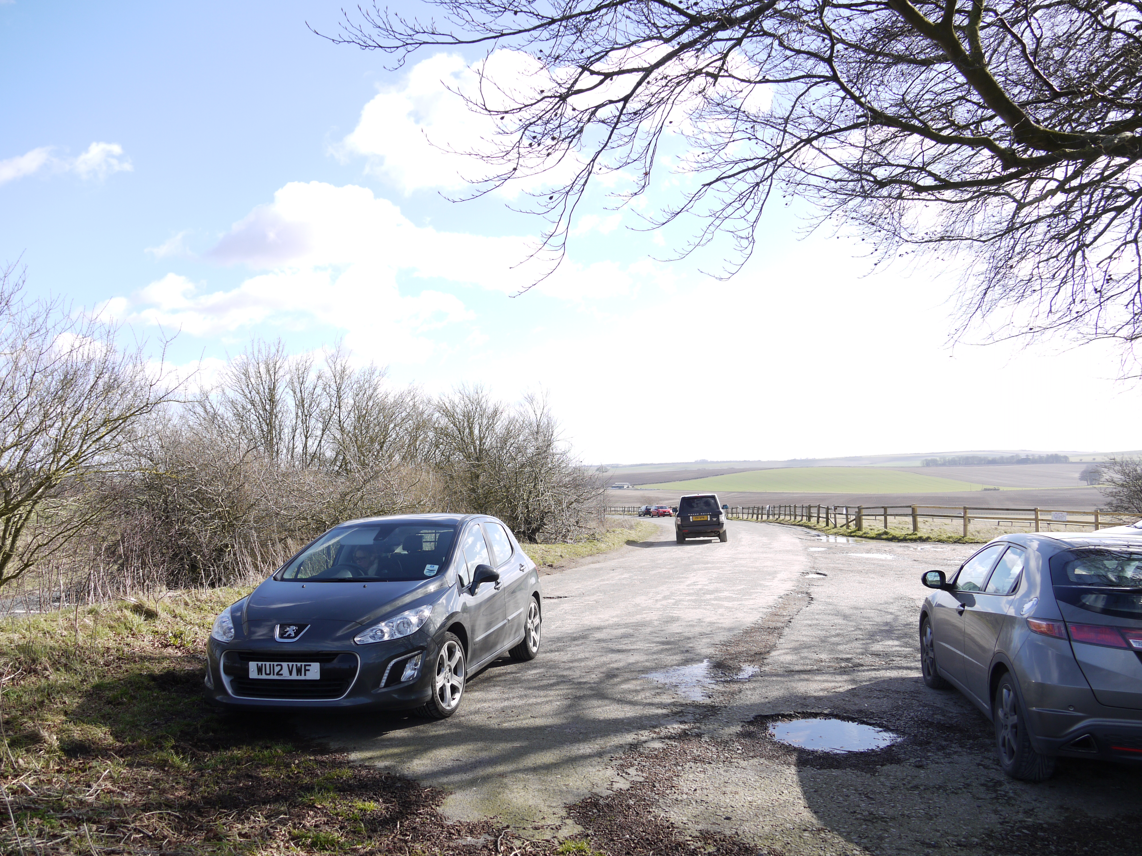
Knoll Down, Avebury, 02/03/2015 |
Class31 |
Monday 2nd of March 2015 04:58:56 PM |

Knoll Down, Avebury, 02/03/2015 |
Class31 |
Monday 2nd of March 2015 04:57:46 PM |