
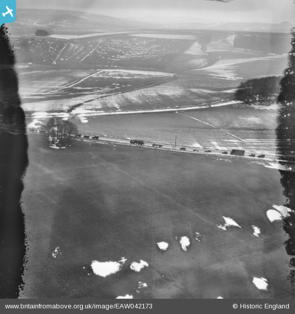
EAW042173 ENGLAND (1952). Queuing traffic on the A4, Knoll Down, 1952. This image has been produced from a damaged negative.
© Copyright OpenStreetMap contributors and licensed by the OpenStreetMap Foundation. 2026. Cartography is licensed as CC BY-SA.
Nearby Images (2)
EAW042173

EAW042175

Details
| Title | [EAW042173] Queuing traffic on the A4, Knoll Down, 1952. This image has been produced from a damaged negative. |
| Reference | EAW042173 |
| Date | 31-March-1952 |
| Link | |
| Place name | KNOLL DOWN |
| Parish | AVEBURY |
| District | |
| Country | ENGLAND |
| Easting / Northing | 407554, 169365 |
| Longitude / Latitude | -1.8913458390333, 51.422752845586 |
| National Grid Reference | SU076694 |
Pins
Be the first to add a comment to this image!


