
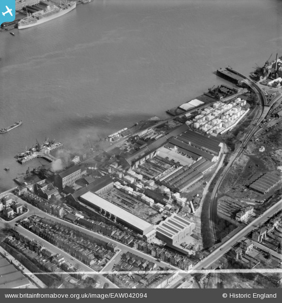
EAW042094 ENGLAND (1952). The Imperial Paper Mills, Gravesend, 1952. This image was marked by Aerofilms Ltd for photo editing.
© Copyright OpenStreetMap contributors and licensed by the OpenStreetMap Foundation. 2026. Cartography is licensed as CC BY-SA.
Nearby Images (8)
EAW042094

EAW042095

EAW042091

EAW042090

EAW042096

EAW042097

EAW042092

EPW017660

Details
| Title | [EAW042094] The Imperial Paper Mills, Gravesend, 1952. This image was marked by Aerofilms Ltd for photo editing. |
| Reference | EAW042094 |
| Date | 27-March-1952 |
| Link | |
| Place name | GRAVESEND |
| Parish | |
| District | |
| Country | ENGLAND |
| Easting / Northing | 564033, 174415 |
| Longitude / Latitude | 0.36066067618394, 51.444446565045 |
| National Grid Reference | TQ640744 |
Pins

Kentishman |
Friday 15th of August 2025 03:15:11 PM | |
|
jason |
Thursday 31st of December 2015 07:21:09 PM | |
|
jason |
Thursday 31st of December 2015 07:19:50 PM |