
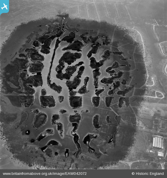
EAW042072 ENGLAND (1952). Housing estates at Poverest (site of), Orpington, 1952. This image has been produced from a damaged negative.
© Copyright OpenStreetMap contributors and licensed by the OpenStreetMap Foundation. 2026. Cartography is licensed as CC BY-SA.
Nearby Images (3)
EAW042072
, Orpington, 1952. This image has been produced from a damaged negative.")
EAW042068

EAW042066

Details
| Title | [EAW042072] Housing estates at Poverest (site of), Orpington, 1952. This image has been produced from a damaged negative. |
| Reference | EAW042072 |
| Date | March-1952 |
| Link | |
| Place name | ORPINGTON |
| Parish | |
| District | |
| Country | ENGLAND |
| Easting / Northing | 546601, 167753 |
| Longitude / Latitude | 0.10722796120161, 51.389359760873 |
| National Grid Reference | TQ466678 |
Pins
Be the first to add a comment to this image!