
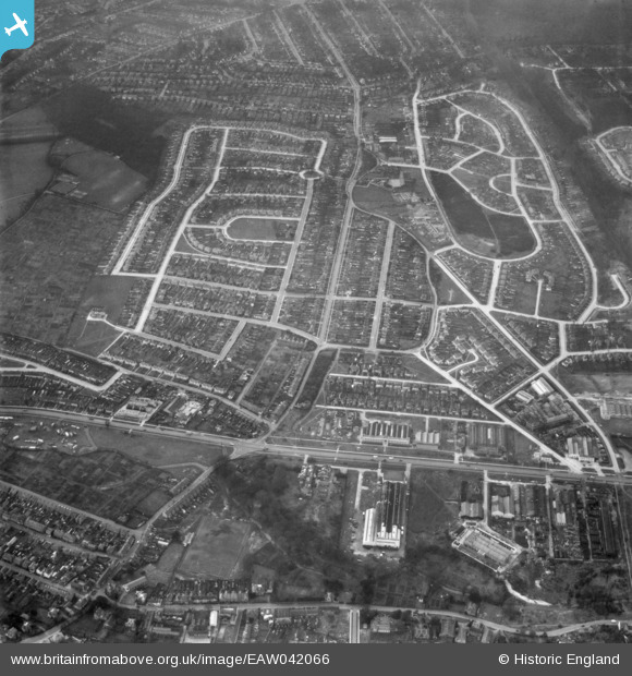
EAW042066 ENGLAND (1952). Housing estates at Poverest, Orpington, 1952
© Copyright OpenStreetMap contributors and licensed by the OpenStreetMap Foundation. 2026. Cartography is licensed as CC BY-SA.
Nearby Images (3)
EAW042066

EAW042072
, Orpington, 1952. This image has been produced from a damaged negative.")
EAW042068

Details
| Title | [EAW042066] Housing estates at Poverest, Orpington, 1952 |
| Reference | EAW042066 |
| Date | March-1952 |
| Link | |
| Place name | ORPINGTON |
| Parish | |
| District | |
| Country | ENGLAND |
| Easting / Northing | 546563, 167663 |
| Longitude / Latitude | 0.10664499277268, 51.388560784556 |
| National Grid Reference | TQ466677 |
Pins

Buzby9 |
Thursday 24th of July 2014 08:21:49 PM | |
|
Mike Floate |
Friday 25th of April 2014 05:33:14 PM |
