
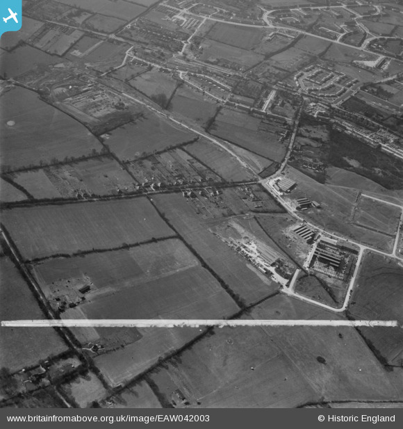
EAW042003 ENGLAND (1952). Wood Lane End, construction of the Alford and Alder Engineering Works off Maylands Avenue and environs, Hemel Hempstead, 1952. This image was marked by Aerofilms Ltd for photo editing.
© Copyright OpenStreetMap contributors and licensed by the OpenStreetMap Foundation. 2026. Cartography is licensed as CC BY-SA.
Nearby Images (25)
EAW042003

EAW042002

EAW042000

EAW048150

EAW041999

EAW042001

EAW042004

EAW037464

EAW048148

EAW037469

EAW048145

EAW048144

EAW048146

EAW037465

EAW048147

EAW037466

EAW048149

EAW048139

EAW048140

EAW048141

EAW048142

EAW048143

EAW042015

EAW042013

EAW042010

Details
| Title | [EAW042003] Wood Lane End, construction of the Alford and Alder Engineering Works off Maylands Avenue and environs, Hemel Hempstead, 1952. This image was marked by Aerofilms Ltd for photo editing. |
| Reference | EAW042003 |
| Date | 14-March-1952 |
| Link | |
| Place name | HEMEL HEMPSTEAD |
| Parish | |
| District | |
| Country | ENGLAND |
| Easting / Northing | 508055, 208013 |
| Longitude / Latitude | -0.43417993705451, 51.759910771001 |
| National Grid Reference | TL081080 |
Pins
Be the first to add a comment to this image!