
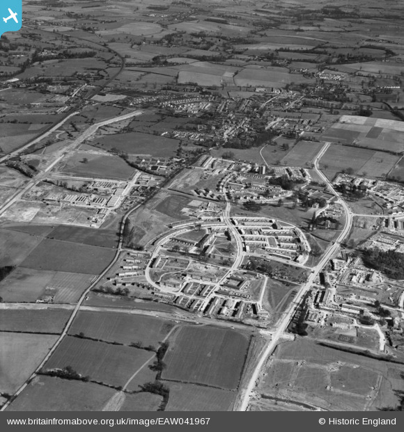
EAW041967 ENGLAND (1952). Development of the Mark Hall neighbourhood, Mark Hall North, 1952
© Copyright OpenStreetMap contributors and licensed by the OpenStreetMap Foundation. 2026. Cartography is licensed as CC BY-SA.
Nearby Images (3)
EAW041967

EAW041968

EAW041969

Details
| Title | [EAW041967] Development of the Mark Hall neighbourhood, Mark Hall North, 1952 |
| Reference | EAW041967 |
| Date | 14-March-1952 |
| Link | |
| Place name | MARK HALL NORTH |
| Parish | |
| District | |
| Country | ENGLAND |
| Easting / Northing | 546333, 211252 |
| Longitude / Latitude | 0.12151329987918, 51.780322253816 |
| National Grid Reference | TL463113 |
