
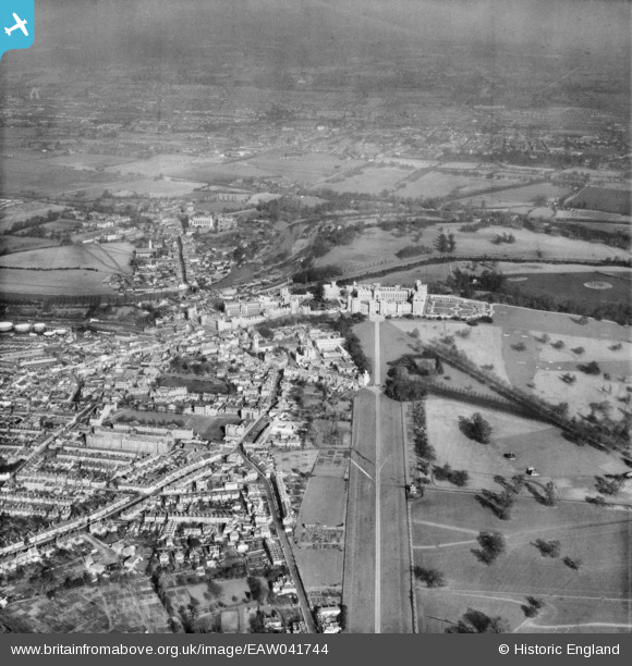
EAW041744 ENGLAND (1952). Windsor Castle, Windsor, from the south, 1952
© Copyright OpenStreetMap contributors and licensed by the OpenStreetMap Foundation. 2026. Cartography is licensed as CC BY-SA.
Nearby Images (6)
EAW041744

EPW000035

EPW022597

EAW006326

EAW006325

EPW034875

Details
| Title | [EAW041744] Windsor Castle, Windsor, from the south, 1952 |
| Reference | EAW041744 |
| Date | 20-February-1952 |
| Link | |
| Place name | WINDSOR |
| Parish | |
| District | |
| Country | ENGLAND |
| Easting / Northing | 496967, 176410 |
| Longitude / Latitude | -0.60354952168549, 51.477841559836 |
| National Grid Reference | SU970764 |
Pins

designking |
Friday 26th of September 2014 08:45:48 PM | |

Alan McFaden |
Sunday 27th of April 2014 04:28:40 PM | |
|
Alan McFaden |
Sunday 27th of April 2014 04:22:12 PM |

