
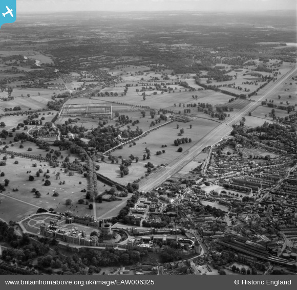
EAW006325 ENGLAND (1947). Windsor Castle and Home Park, Windsor, from the north-west, 1947
© Copyright OpenStreetMap contributors and licensed by the OpenStreetMap Foundation. 2026. Cartography is licensed as CC BY-SA.
Nearby Images (4)
EAW006325

EAW006326

EAW041744

EPW034875

Details
| Title | [EAW006325] Windsor Castle and Home Park, Windsor, from the north-west, 1947 |
| Reference | EAW006325 |
| Date | 5-June-1947 |
| Link | |
| Place name | WINDSOR |
| Parish | |
| District | |
| Country | ENGLAND |
| Easting / Northing | 497177, 176430 |
| Longitude / Latitude | -0.60052071516077, 51.477985312194 |
| National Grid Reference | SU972764 |
Pins

flubber |
Sunday 15th of December 2013 01:12:56 AM | |

Alan McFaden |
Saturday 9th of November 2013 06:19:56 PM |

User Comment Contributions
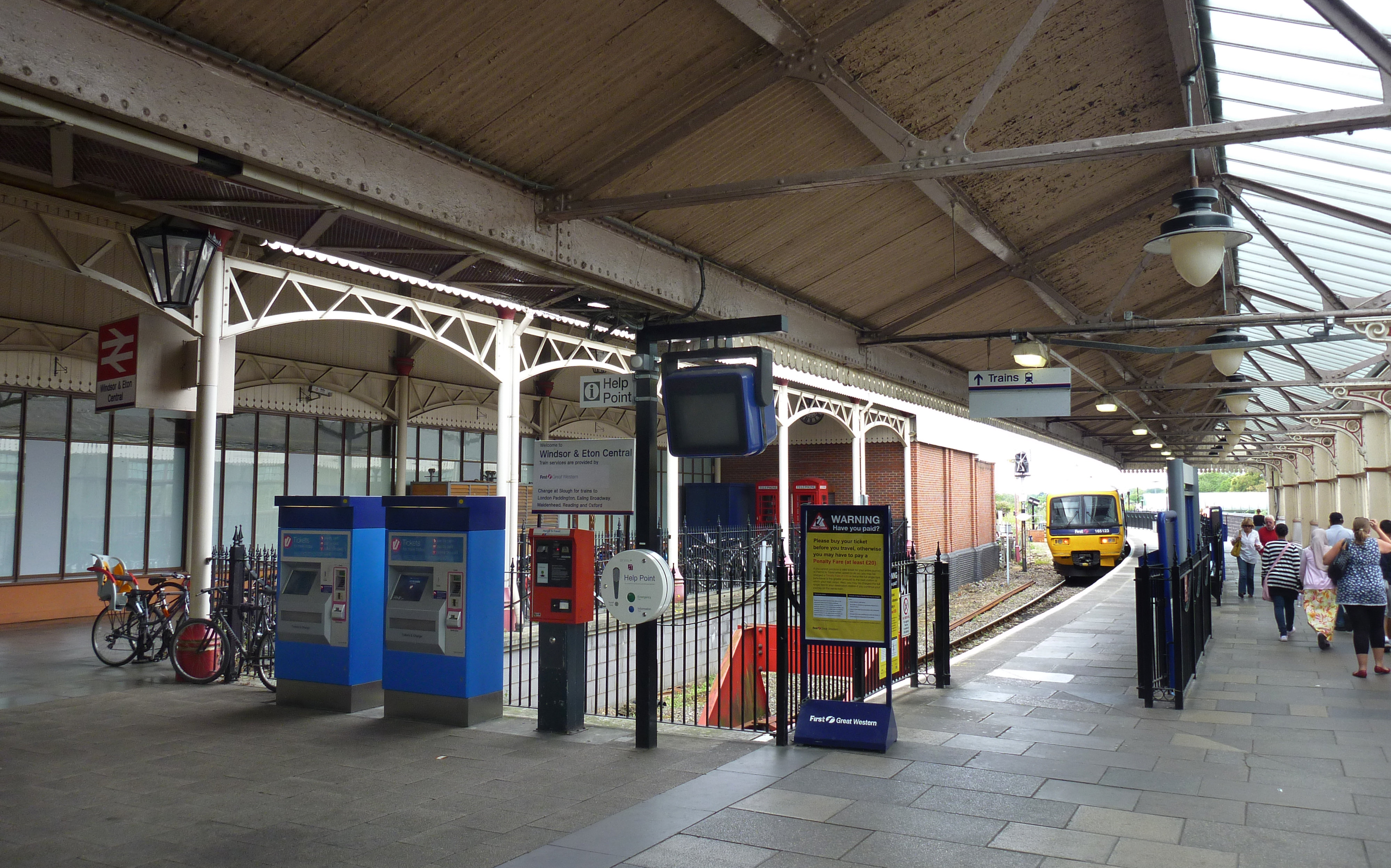
Windsor and Eton Central Railway Station |
Alan McFaden |
Thursday 20th of November 2014 09:19:23 PM |