
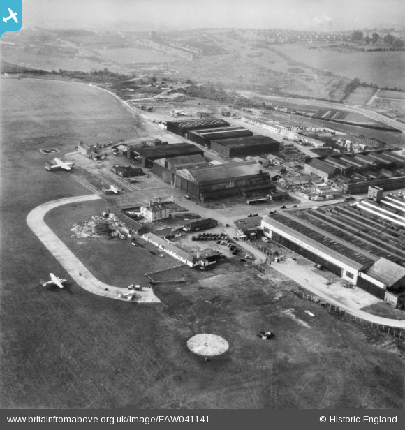
EAW041141 ENGLAND (1951). The Percival Aircraft Ltd Works at Luton Airport, Luton, 1951
© Copyright OpenStreetMap contributors and licensed by the OpenStreetMap Foundation. 2026. Cartography is licensed as CC BY-SA.
Nearby Images (24)
EAW041141

EAW000606

EAW020855

EAW041142

EAW000459

EAW041143

EAW024121

EAW024122

EAW000605

EAW024123

EAW000604

EAW041139

EAW041140

EAW041138

EAW020856

EAW041144

EAW000454

EAW000456

EAW041137

EAW020857

EAW041145

EAW000458

EAW000455

EAW000457

Details
| Title | [EAW041141] The Percival Aircraft Ltd Works at Luton Airport, Luton, 1951 |
| Reference | EAW041141 |
| Date | 1-November-1951 |
| Link | |
| Place name | LUTON |
| Parish | |
| District | |
| Country | ENGLAND |
| Easting / Northing | 511701, 221654 |
| Longitude / Latitude | -0.37696744079141, 51.881806232019 |
| National Grid Reference | TL117217 |
Pins
Be the first to add a comment to this image!