
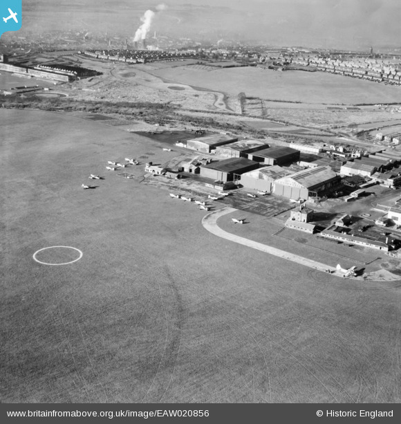
EAW020856 ENGLAND (1949). Luton Airfield, Luton, 1949
© Copyright OpenStreetMap contributors and licensed by the OpenStreetMap Foundation. 2026. Cartography is licensed as CC BY-SA.
Nearby Images (19)
EAW020856

EAW024123

EAW024121

EAW024122

EAW000604

EAW000606

EAW041142

EAW041143

EAW000463

EAW020855

EAW041141

EAW020857

EAW041144

EAW000459

EAW041138

EAW041145

EAW041137

EAW000605

EAW041140

Details
| Title | [EAW020856] Luton Airfield, Luton, 1949 |
| Reference | EAW020856 |
| Date | 2-February-1949 |
| Link | |
| Place name | LUTON |
| Parish | |
| District | |
| Country | ENGLAND |
| Easting / Northing | 511745, 221509 |
| Longitude / Latitude | -0.37637535428433, 51.880494109306 |
| National Grid Reference | TL117215 |
Pins

Matt Aldred edob.mattaldred.com |
Tuesday 9th of March 2021 04:51:01 PM | |

Pembroke |
Thursday 21st of December 2017 08:18:50 PM | |
|
brian |
Monday 23rd of February 2015 10:27:55 PM | |
|
brian |
Sunday 22nd of February 2015 11:05:52 PM | |
|
brian |
Sunday 22nd of February 2015 11:00:02 PM | |
|
brian |
Sunday 22nd of February 2015 10:56:27 PM | |
|
brian |
Sunday 22nd of February 2015 10:53:58 PM | |
|
brian |
Sunday 22nd of February 2015 10:51:32 PM | |
|
brian |
Tuesday 7th of October 2014 07:15:59 PM | |
|
brian |
Tuesday 7th of October 2014 07:15:06 PM | |
The Varsity had a tricycle undercarriage (with a nose wheel). So this is probably a Valletta. |
Graham Yaxley |
Saturday 23rd of April 2016 12:46:10 AM |
The Varsity had a tricycle undercarriage (with a nose wheel). So this is probably a Valletta. |
Graham Yaxley |
Saturday 23rd of April 2016 12:46:15 AM |
|
pffoto |
Thursday 4th of September 2014 06:55:46 PM | |
|
pffoto |
Thursday 4th of September 2014 06:55:18 PM | |

bescotbeast |
Monday 3rd of March 2014 02:05:35 AM | |
|
bescotbeast |
Monday 3rd of March 2014 01:59:33 AM | |

clippedwings |
Sunday 12th of January 2014 04:04:46 PM | |
|
Al |
Tuesday 7th of January 2014 01:50:49 PM |