
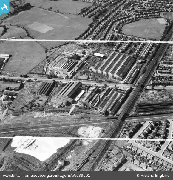
EAW039601 ENGLAND (1951). The Oil Well Co Ltd Engineering Works, Cheadle Heath, 1951. This image was marked by Aerofilms Ltd for photo editing.
© Copyright OpenStreetMap contributors and licensed by the OpenStreetMap Foundation. 2026. Cartography is licensed as CC BY-SA.
Nearby Images (29)
EAW039601

EAW039596

EPW049692

EAW039597

EAW039600

EPW049689

EAW000401

EAW000403

EAW000400

EAW000409

EPW049690

EAW039598

EPW016700

EAW000405

EAW039599

EAW052660

EPW049691

EPW049693

EAW000402

EAW052661

EAW052657

EAW052656

EAW000407

EAW000404

EAW052659

EAW052654

EAW000408

EAW052658

EAW052655

Details
| Title | [EAW039601] The Oil Well Co Ltd Engineering Works, Cheadle Heath, 1951. This image was marked by Aerofilms Ltd for photo editing. |
| Reference | EAW039601 |
| Date | 9-September-1951 |
| Link | |
| Place name | CHEADLE HEATH |
| Parish | |
| District | |
| Country | ENGLAND |
| Easting / Northing | 387769, 388774 |
| Longitude / Latitude | -2.1839546003647, 53.395393668497 |
| National Grid Reference | SJ878888 |
Pins
Be the first to add a comment to this image!