
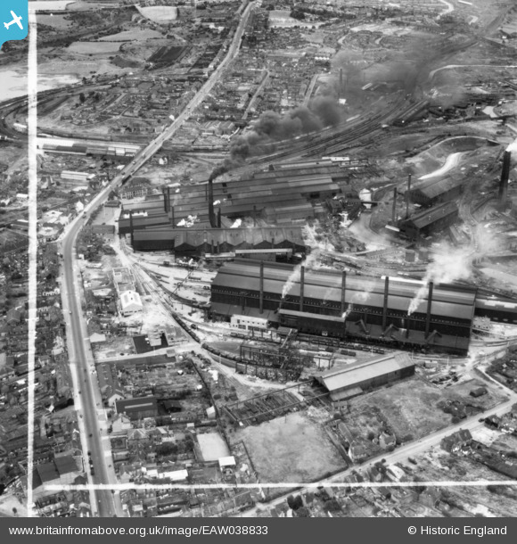
EAW038833 ENGLAND (1951). Round Oak Iron and Steel Works and Dudley Road, Brierley Hill, 1951. This image has been produced from a print marked by Aerofilms Ltd for photo editing.
© Copyright OpenStreetMap contributors and licensed by the OpenStreetMap Foundation. 2026. Cartography is licensed as CC BY-SA.
Nearby Images (24)
EAW038833

EAW008340

EAW038834

EAW038831

EAW038830

EAW008338

EAW038836

EAW038825

EAW038837

EAW038835

EAW038832

EAW038827

EAW038824

EAW008349

EAW008343

EAW008351

EAW008342

EAW008350

EAW008339

EAW008347

EAW008344

EAW008346

EAW008348

EAW008345

Details
| Title | [EAW038833] Round Oak Iron and Steel Works and Dudley Road, Brierley Hill, 1951. This image has been produced from a print marked by Aerofilms Ltd for photo editing. |
| Reference | EAW038833 |
| Date | 15-August-1951 |
| Link | |
| Place name | BRIERLEY HILL |
| Parish | |
| District | |
| Country | ENGLAND |
| Easting / Northing | 392075, 287632 |
| Longitude / Latitude | -2.116719525242, 52.48618010094 |
| National Grid Reference | SO921876 |
Pins
Be the first to add a comment to this image!