
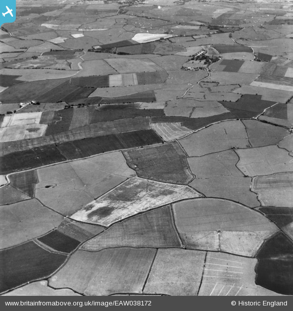
EAW038172 ENGLAND (1951). Romney Marsh, Newchurch, 1951. This image has been produced from a print.
© Copyright OpenStreetMap contributors and licensed by the OpenStreetMap Foundation. 2026. Cartography is licensed as CC BY-SA.
Nearby Images (2)
EAW038172

EAW038171

Details
| Title | [EAW038172] Romney Marsh, Newchurch, 1951. This image has been produced from a print. |
| Reference | EAW038172 |
| Date | 28-July-1951 |
| Link | |
| Place name | NEWCHURCH |
| Parish | NEWCHURCH |
| District | |
| Country | ENGLAND |
| Easting / Northing | 605435, 128892 |
| Longitude / Latitude | 0.92963056619868, 51.022100187269 |
| National Grid Reference | TR054289 |
Pins
Be the first to add a comment to this image!