
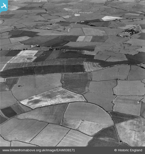
EAW038171 ENGLAND (1951). Romney Marsh, Newchurch, 1951. This image has been produced from a print.
© Copyright OpenStreetMap contributors and licensed by the OpenStreetMap Foundation. 2026. Cartography is licensed as CC BY-SA.
Nearby Images (2)
EAW038171

EAW038172

Details
| Title | [EAW038171] Romney Marsh, Newchurch, 1951. This image has been produced from a print. |
| Reference | EAW038171 |
| Date | 28-July-1951 |
| Link | |
| Place name | NEWCHURCH |
| Parish | NEWCHURCH |
| District | |
| Country | ENGLAND |
| Easting / Northing | 605447, 128883 |
| Longitude / Latitude | 0.92979635500139, 51.022015066037 |
| National Grid Reference | TR054289 |
Pins

Matt Aldred edob.mattaldred.com |
Thursday 6th of March 2025 05:30:10 PM | |
|
Matt Aldred edob.mattaldred.com |
Thursday 6th of March 2025 05:29:58 PM |