
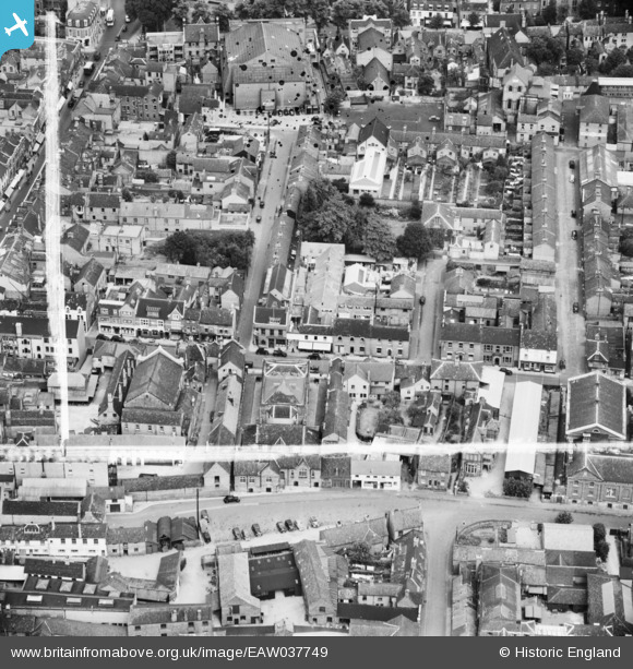
EAW037749 ENGLAND (1951). Howard Street and environs, Bedford, 1951. This image was marked by Aerofilms Ltd for photo editing.
© Copyright OpenStreetMap contributors and licensed by the OpenStreetMap Foundation. 2026. Cartography is licensed as CC BY-SA.
Nearby Images (39)
EAW037749

EAW037748

EAW037745

EAW037746

EAW037747

EAW037744

EAW037763

EAW037740

EAW037743

EAW037739

EAW037738

EAW037742

EAW037760

EAW037741

EAW037761

EPW022391

EPW030066

EAW037762

EPW046439

EPW045603

EAW037752

EAW037751

EPW046435

EAW037754

EAW003718

EAW037753

EAW049226

EAW037758

EAW037764

EPW026472

EAW037750

EPW022387

EPW022386

EPW026465

EPW026461

EPW022388

EPW016814

EAW049227

EPW046438

Details
| Title | [EAW037749] Howard Street and environs, Bedford, 1951. This image was marked by Aerofilms Ltd for photo editing. |
| Reference | EAW037749 |
| Date | 16-July-1951 |
| Link | |
| Place name | BEDFORD |
| Parish | |
| District | |
| Country | ENGLAND |
| Easting / Northing | 505142, 249867 |
| Longitude / Latitude | -0.46357041996886, 52.136674672249 |
| National Grid Reference | TL051499 |
Pins
 |

melgibbs |
Monday 2nd of March 2015 11:29:16 AM |
|
melgibbs |
Thursday 26th of February 2015 07:17:29 PM | |
 |
melgibbs |
Thursday 26th of February 2015 07:17:01 PM |

Class31 |
Wednesday 4th of June 2014 10:10:33 AM | |
|
Class31 |
Wednesday 4th of June 2014 10:09:21 AM | |
|
melgibbs |
Thursday 1st of May 2014 09:28:48 PM | |
|
melgibbs |
Thursday 1st of May 2014 09:28:26 PM | |
|
melgibbs |
Monday 28th of April 2014 09:31:24 PM |


