
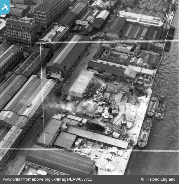
EAW037711 ENGLAND (1951). Long's Wharf, Woolwich, 1951. This image has been produced from a print marked by Aerofilms Ltd for photo editing.
© Copyright OpenStreetMap contributors and licensed by the OpenStreetMap Foundation. 2026. Cartography is licensed as CC BY-SA.
Nearby Images (10)
EAW037711

EAW037715

EAW037712

EAW037716

EAW037713

EAW037710

EPW057658

EPW060544

EPW057659

EPW008552

Details
| Title | [EAW037711] Long's Wharf, Woolwich, 1951. This image has been produced from a print marked by Aerofilms Ltd for photo editing. |
| Reference | EAW037711 |
| Date | 16-July-1951 |
| Link | |
| Place name | WOOLWICH |
| Parish | |
| District | |
| Country | ENGLAND |
| Easting / Northing | 541932, 179301 |
| Longitude / Latitude | 0.044793986049019, 51.494327401416 |
| National Grid Reference | TQ419793 |
Pins
Be the first to add a comment to this image!