
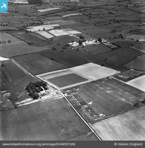
EAW037168 ENGLAND (1951). Sewborwens Farm, Newton Rigg Farm School and surrounding countryside, Newton Rigg, 1951. This image has been produced from a print marked by Aerofilms Ltd for photo editing.
© Copyright OpenStreetMap contributors and licensed by the OpenStreetMap Foundation. 2025. Cartography is licensed as CC BY-SA.
Nearby Images (5)
EAW037168

EAW037173

EAW037175

EAW037174

EAW037176

Details
| Title | [EAW037168] Sewborwens Farm, Newton Rigg Farm School and surrounding countryside, Newton Rigg, 1951. This image has been produced from a print marked by Aerofilms Ltd for photo editing. |
| Reference | EAW037168 |
| Date | 5-June-1951 |
| Link | |
| Place name | NEWTON RIGG |
| Parish | CATTERLEN |
| District | |
| Country | ENGLAND |
| Easting / Northing | 349199, 530521 |
| Longitude / Latitude | -2.7877324109925, 54.667090622028 |
| National Grid Reference | NY492305 |
Pins
Be the first to add a comment to this image!