
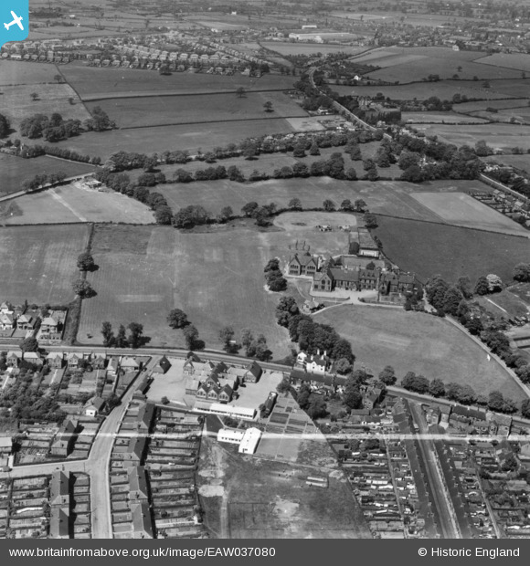
EAW037080 ENGLAND (1951). Sandbach School and playing fields, Sandbach, 1951. This image has been produced from a print marked by Aerofilms Ltd for photo editing.
© Copyright OpenStreetMap contributors and licensed by the OpenStreetMap Foundation. 2026. Cartography is licensed as CC BY-SA.
Nearby Images (8)
EAW037080

EAW037079

EAW037081

EAW037076

EAW037078

EAW037077

EPW021626

EPW021621

Details
| Title | [EAW037080] Sandbach School and playing fields, Sandbach, 1951. This image has been produced from a print marked by Aerofilms Ltd for photo editing. |
| Reference | EAW037080 |
| Date | 5-June-1951 |
| Link | |
| Place name | SANDBACH |
| Parish | SANDBACH |
| District | |
| Country | ENGLAND |
| Easting / Northing | 375235, 360645 |
| Longitude / Latitude | -2.3702719370319, 53.14208538239 |
| National Grid Reference | SJ752606 |
Pins
Be the first to add a comment to this image!